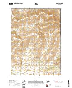
2018 Map of Coleen D-1 NW
USGS Topo · Published 2018About this map
Strangle Woman Cr carves through the southwestern corner of this interior Alaskan wilderness, highlighting a landscape defined by dramatic elevation changes and a meticulous public land survey grid. The terrain, captured in the late 2010s, is characterized by a series of north-south and east-west ridges that dictate the flow of minor drainage systems toward the creek. This portion of the Yukon-Koyukuk region showcases the intricate topographical relief between T35N and T37N, where the land rises sharply from the creek bed. The absence of roads or permanent structures underscores the isolation of this Arctic territory, where the primary markers are the section lines of the township and range system, including t36n r28e and t17s r46e.
Find a feature on this map
8 named features on this map. Tap any name to fly to it.
Don’t see what you’re looking for? This feature index may not catch every label — zoom into the map to look around manually.
Map Details
Editions of this 2018 Coleen D-1 NW Map
This is the sole edition of this map. No revisions or reprints were ever made.
Other maps of this area

1951 · Coleen
USGS Topo · 1:250,000

1951 · Table Mountain
USGS Topo · 1:250,000

1956 · Table Mountain
USGS Topo · 1:250,000

1956 · Coleen
USGS Topo · 1:250,000

1964 · Table Mountain
USGS Topo · 1:250,000
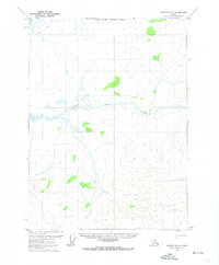
1972 · Coleen D-2
USGS Topo · 1:63,360
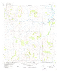
1972 · Table Mountain A-1
USGS Topo · 1:63,360
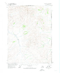
1972 · Coleen D-1
USGS Topo · 1:63,360
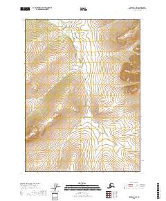
2018 · Coleen D-1 SW
USGS Topo · 1:25,000
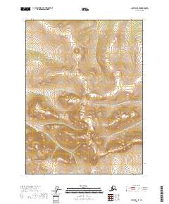
2018 · Coleen D-2 SE
USGS Topo · 1:25,000