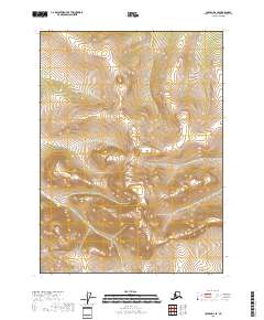
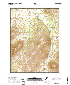
2018 Map of Coleen D-2 SE
USGS Topo · Published 2018About this map
Steep, unnamed ridges and deep valleys define this section of the Yukon-Koyukuk Census Area, mapped as it appeared in 2018. The landscape is characterized by its isolation, with no roads, settlements, or structures recorded across the entire sheet. Instead, the map provides a technical study of the terrain's elevation and the underlying Public Land Survey System structure, covering portions of T35n R26e, T35n R27e, and T35n R28e in the north, and T34n R26e, T34n R27e, and T34n R28e in the south.
Find a feature on this map
6 named features on this map. Tap any name to fly to it.
Don’t see what you’re looking for? This feature index may not catch every label — zoom into the map to look around manually.
Map Details
Editions of this 2018 Coleen D-2 SE Map
This is the sole edition of this map. No revisions or reprints were ever made.
Other maps of this area

1951 · Coleen
USGS Topo · 1:250,000

1956 · Coleen
USGS Topo · 1:250,000
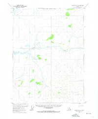
1972 · Coleen D-2
USGS Topo · 1:63,360
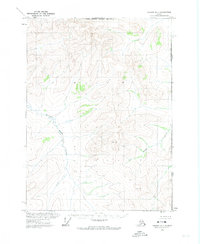
1972 · Coleen D-1
USGS Topo · 1:63,360
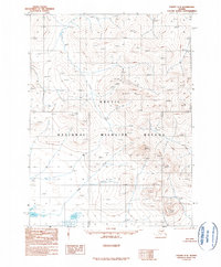
1990 · Coleen C-2
USGS Topo · 1:63,360
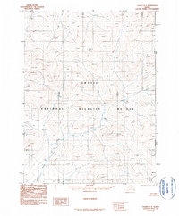
1990 · Coleen C-1
USGS Topo · 1:63,360
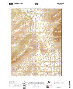
2018 · Coleen D-1 SW
USGS Topo · 1:25,000
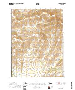
2018 · Coleen D-1 NW
USGS Topo · 1:25,000
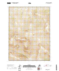
2018 · Coleen C-1 NW
USGS Topo · 1:25,000
2018 · Coleen D-2 SW
USGS Topo · 1:25,000