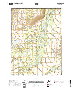
2018 Map of Coleen D-3 NE
USGS Topo · Published 2018About this map
The Coleen River winds through the heart of this Arctic landscape, creating a complex network of braids and oxbow lakes as it flows south. This drainage basin, characterized by expansive wetland systems and low-lying riverbanks, remains dominated by the natural movement of water across the landscape. Along the southern edge, Strangle Woman Creek joins the main river corridor, marking a significant hydrological junction in the Yukon-Koyukuk region. In the northern reaches, Marten Cr feeds into the system, emphasizing the numerous small tributaries that define this watershed. The lack of roads or established settlements on the map underscores the isolation of this interior Alaskan territory, where geographical features are named for their navigational and ecological significance rather than human habitation.
Find a feature on this map
9 named features on this map. Tap any name to fly to it.
Don’t see what you’re looking for? This feature index may not catch every label — zoom into the map to look around manually.
Map Details
Editions of this 2018 Coleen D-3 NE Map
This is the sole edition of this map. No revisions or reprints were ever made.
Other maps of this area

1951 · Coleen
USGS Topo · 1:250,000

1951 · Table Mountain
USGS Topo · 1:250,000

1956 · Table Mountain
USGS Topo · 1:250,000

1956 · Coleen
USGS Topo · 1:250,000

1964 · Table Mountain
USGS Topo · 1:250,000
1972 · Coleen D-2
USGS Topo · 1:63,360
1972 · Table Mountain A-2
USGS Topo · 1:63,360
1972 · Coleen D-3
USGS Topo · 1:63,360
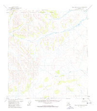
1972 · Table Mountain A-3
USGS Topo · 1:63,360
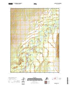
2018 · Coleen D-3 SW
USGS Topo · 1:25,000