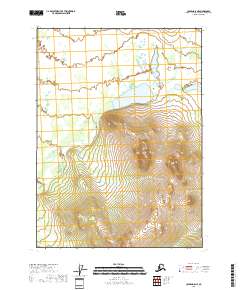
2018 Map of Coleen D-5 NE
USGS Topo · Published 2018About this map
Grayling Lake sits at the center of this northern interior landscape, serving as a primary hydrological landmark within the Coleen River drainage area. The terrain transitions from low-lying wetlands surrounding the lake into the increasingly steep elevations of the surrounding mountains, represented by the dense contour intervals of T36n R21e. This 2018 survey provides an exact record of the Township and Range boundaries, including T37n R20e and T37n R21e, which define the administrative geography of this unpopulated wilderness area. The map illustrates a landscape shaped by glacial or periglacial processes, where small pond clusters and drainage patterns in the northern reaches contrast with the prominent ridges found in the south near T35n R21e.
Find a feature on this map
8 named features on this map. Tap any name to fly to it.
Don’t see what you’re looking for? This feature index may not catch every label — zoom into the map to look around manually.
Map Details
Editions of this 2018 Coleen D-5 NE Map
This is the sole edition of this map. No revisions or reprints were ever made.
Other maps of this area

1951 · Coleen
USGS Topo · 1:250,000

1951 · Table Mountain
USGS Topo · 1:250,000

1956 · Table Mountain
USGS Topo · 1:250,000

1956 · Coleen
USGS Topo · 1:250,000

1964 · Table Mountain
USGS Topo · 1:250,000
1972 · Coleen D-4
USGS Topo · 1:63,360
1972 · Coleen D-5
USGS Topo · 1:63,360
1972 · Table Mountain A-4
USGS Topo · 1:63,360
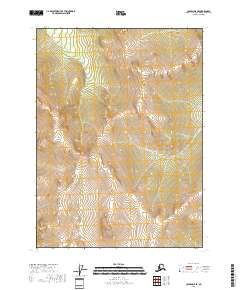
2018 · Coleen D-5 SE
USGS Topo · 1:25,000
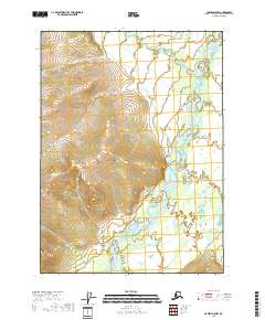
2018 · Coleen D-5 NW
USGS Topo · 1:25,000