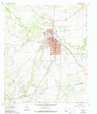
1963 Map of Coleman
USGS Topo · Published 1987About this map
Coleman serves as the central hub in this mid-century Texas survey, where the grid of the city meets the diverging paths of the Atchison Topeka and Santa Fe railroad. The town's institutional character is well-defined by the presence of the Courthouse and a network of neighborhood schools, including West Ward Sch and South Ward Sch. Surrounding the urban center, the landscape is shaped by industrial and recreational sites, from the extensive Gravel Pits and numerous Oil Wells to the local Golf Course and Old City Lake.
Find a feature on this map
47 named features on this map. Tap any name to fly to it.
Don’t see what you’re looking for? This feature index may not catch every label — zoom into the map to look around manually.
Map Details
Editions of this 1963 Coleman Map
2 editions found
Other maps of this area

1887 · Coleman
USGS Topo · 1:125,000

1889 · Coleman
USGS Topo · 1:125,000

1892 · Ballinger
USGS Topo · 1:125,000

1932 · Voss
USGS Topo · 1:62,500

1954 · Brownwood
USGS Topo · 1:250,000

1960 · Lake Scarborough
USGS Topo · 1:24,000
1960 · Coleman NE
USGS Topo · 1:24,000

1962 · Santa Anna
USGS Topo · 1:24,000
1963 · Lake San Tana
USGS Topo · 1:24,000
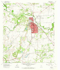
1963 · Coleman
USGS Topo · 1:24,000