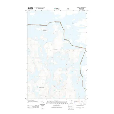
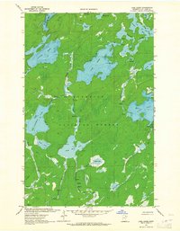
2013 Map of Coleman Island
USGS Topo · Published 2013About this map
Coleman Island and the surrounding borderlands of the Superior National Forest define this 2013 hydrographic study along the international boundary between Minnesota and Ontario. The landscape is dominated by a complex network of glacial lakes and waterways, where the United States of America and Canada border weaves through the waters of Lac la Croix. The map documents a wilderness character largely devoid of modern roads, emphasizing natural features like Ge-be-on-e-quet Lake and the smaller Twentyfive Island. Small drainages like Pocket Creek and Hag Cr connect a series of interior lakes, including Profit Lake, Mug Lake, and Wabang Lake. This survey provides a precise record of the shoreline and elevation contours in a region where the water-to-land ratio remains the primary geographic influence.
Find a feature on this map
23 named features on this map. Tap any name to fly to it.
Don’t see what you’re looking for? This feature index may not catch every label — zoom into the map to look around manually.
Map Details
Editions of this 2013 Coleman Island Map
This is the sole edition of this map. No revisions or reprints were ever made.
Other maps of this area

1954 · International Falls
USGS Topo · 1:250,000

1957 · International Falls
USGS Topo · 1:250,000

1957 · Quetico
USGS Topo · 1:250,000

1958 · International Falls
USGS Topo · 1:250,000
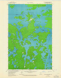
1963 · Coleman Island
USGS Topo · 1:24,000

1963 · Takucmich Lake
USGS Topo · 1:24,000
1963 · Iron Lake
USGS Topo · 1:24,000
1963 · Shell Lake
USGS Topo · 1:24,000
1963 · Lake Agnes
USGS Topo · 1:24,000

1968 · Quetico
USGS Topo · 1:250,000