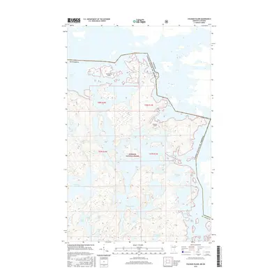
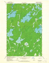
2016 Map of Coleman Island
USGS Topo · Published 2016About this map
Superior National Forest defines this borderland landscape, where the international boundary between Minnesota and Canada weaves through a complex network of waterways. Dominating the northern reaches is Lac la Croix, a massive water body containing several landforms including Twentyfive Island and the large Coleman Island. This modern survey illustrates the intricate hydrography of the region, where narrow passages like Fish Stake Narrows connect broader expanses of water. To the south, the topography is punctuated by numerous named lakes such as Ge-be-on-e-quet Lake, Kelsey Lake, and Wabang Lake. The map details the indented shorelines of the larger bays, specifically Lady Boot Bay and Never Fail Bay, reflecting the glacial character of this protected wilderness area in St. Louis County.
Find a feature on this map
32 named features on this map. Tap any name to fly to it.
Don’t see what you’re looking for? This feature index may not catch every label — zoom into the map to look around manually.
Map Details
Editions of this 2016 Coleman Island Map
This is the sole edition of this map. No revisions or reprints were ever made.
Other maps of this area

1954 · International Falls
USGS Topo · 1:250,000

1957 · International Falls
USGS Topo · 1:250,000

1957 · Quetico
USGS Topo · 1:250,000

1958 · International Falls
USGS Topo · 1:250,000
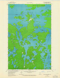
1963 · Coleman Island
USGS Topo · 1:24,000

1963 · Takucmich Lake
USGS Topo · 1:24,000
1963 · Iron Lake
USGS Topo · 1:24,000
1963 · Shell Lake
USGS Topo · 1:24,000
1963 · Lake Agnes
USGS Topo · 1:24,000

1968 · Quetico
USGS Topo · 1:250,000