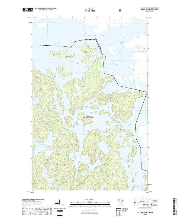
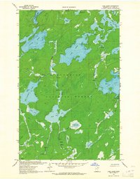
2022 Map of Coleman Island
USGS Topo · Published 2022About this map
Superior National Forest defines the pristine character of this borderland region within Saint Louis County, where the United States boundary with Canada weaves through complex waterways. At the heart of this aquatic landscape lies Lac la Croix, a sprawling water body featuring the prominent Coleman Island and the smaller Twentyfive Island. The topography is dominated by an intricate network of interconnected lakes and bays, such as Lady Boot Bay, Never Fail Bay, and Tiger Bay, linked by narrow passages like Fish Stake Narrows. This labyrinthine drainage system, including Ge-be-on-e-quet Lake and Pocket Lake, illustrates the glaciated terrain typical of the Boundary Waters area. The absence of roads and settlements throughout the quadrangle highlights the preserved wilderness state of these northern reaches, where travel is dictated by the shoreline and the portages between basins like Arch Lake and Profit Lake.
Find a feature on this map
23 named features on this map. Tap any name to fly to it.
Don’t see what you’re looking for? This feature index may not catch every label — zoom into the map to look around manually.
Map Details
Editions of this 2022 Coleman Island Map
This is the sole edition of this map. No revisions or reprints were ever made.
Other maps of this area

1954 · International Falls
USGS Topo · 1:250,000

1957 · International Falls
USGS Topo · 1:250,000

1957 · Quetico
USGS Topo · 1:250,000

1958 · International Falls
USGS Topo · 1:250,000
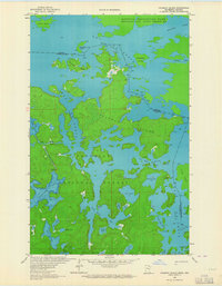
1963 · Coleman Island
USGS Topo · 1:24,000

1963 · Takucmich Lake
USGS Topo · 1:24,000
1963 · Iron Lake
USGS Topo · 1:24,000
1963 · Shell Lake
USGS Topo · 1:24,000
1963 · Lake Agnes
USGS Topo · 1:24,000

1968 · Quetico
USGS Topo · 1:250,000