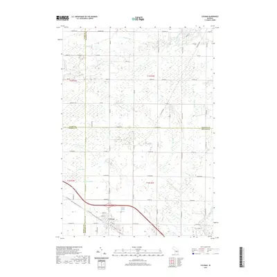
2019 Map of Coleman
USGS Topo · Published 2019About this map
Coleman serves as the central hub of this northern Midland County landscape, situated at a complex meeting point where four Michigan counties—Midland, Isabella, Gladwin, and Clare—converge. The settlement's layout is defined by the legacy of the timber and rail era, evidenced by the Pere Marquette State Trail which follows the path of the old Flint and Pere Marquette Railroad. North of the town center, a separate Railroad Grade is still visible cutting through the terrain, illustrating the once-dense network of spurs that serviced the local industry.
Find a feature on this map
53 named features on this map. Tap any name to fly to it.
Don’t see what you’re looking for? This feature index may not catch every label — zoom into the map to look around manually.
Map Details
Editions of this 2019 Coleman Map
This is the sole edition of this map. No revisions or reprints were ever made.
Other maps of this area

1930 · Shepherd
USGS Topo · 1:48,000

1934 · Sanford
USGS Topo · 1:62,500

1936 · Shepherd
USGS Topo · 1:62,500

1936 · Sanford
USGS Topo · 1:62,500

1954 · Midland
USGS Topo · 1:250,000

1958 · Midland
USGS Topo · 1:250,000

1959 · Midland
USGS Topo · 1:250,000

1966 · Midland
USGS Topo · 1:250,000

1969 · Gladwin
USGS Topo · 1:24,000

1969 · Coleman
USGS Topo · 1:24,000