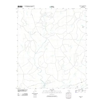
2010 Map of Colita
USGS Topo · Published 2010About this map
Kickapoo Creek and its many tributaries, including Upper Kickapoo Creek and Steam Mill Creek, dominate the drainage patterns of this East Texas landscape. The southern reaches of the map show the edge of the Livingston Reservoir, where the waters of the Bridge Creek and Kickapoo Creek converge. This area is defined by a network of rural routes such as Josserand Rd and Old Groveton Rd, which connect small hubs of local activity.
Find a feature on this map
22 named features on this map. Tap any name to fly to it.
Don’t see what you’re looking for? This feature index may not catch every label — zoom into the map to look around manually.
Map Details
Editions of this 2010 Colita Map
This is the sole edition of this map. No revisions or reprints were ever made.
Other maps of this area

1953 · Palestine
USGS Topo · 1:250,000

1954 · Beaumont
USGS Topo · 1:250,000

1955 · New Willard
USGS Topo · 1:62,500

1957 · Beaumont
USGS Topo · 1:250,000

1957 · Palestine
USGS Topo · 1:250,000

1960 · Colita
USGS Topo · 1:24,000

1960 · Carlisle
USGS Topo · 1:24,000

1961 · Onalaska
USGS Topo · 1:24,000

1963 · Groveton West
USGS Topo · 1:24,000

1963 · Groveton East
USGS Topo · 1:24,000