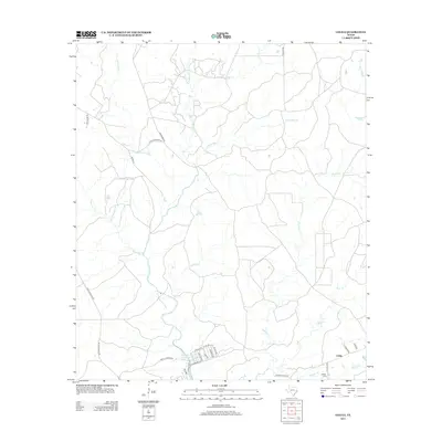
2013 Map of Colita
USGS Topo · Published 2013About this map
Livingston Reservoir defines the southwestern edge of this East Texas landscape, where the waters meet a network of creek drainages in Polk County. The settlement of Colita and the nearby Bethel Cem serve as focal points for local history and genealogy, situated among a maze of timberlands and rural routes. The drainage patterns are intricate, with Kickapoo Cr, Steam Mill Cr, and Bear Cr carving through the terrain, suggesting a history tied to the regional lumber industry and cattle ranching. Transportation is marked by long-standing paths like Old Groveton Rd and Perkins Ranch Rd, which connect isolated homesteads and family lands such as those reached via Josserand Rd. The map illustrates the contemporary rural character of the area, balancing water management and traditional land use near the Carmona Lake vicinity.
Find a feature on this map
34 named features on this map. Tap any name to fly to it.
Don’t see what you’re looking for? This feature index may not catch every label — zoom into the map to look around manually.
Map Details
Editions of this 2013 Colita Map
This is the sole edition of this map. No revisions or reprints were ever made.
Other maps of this area

1953 · Palestine
USGS Topo · 1:250,000

1954 · Beaumont
USGS Topo · 1:250,000

1955 · New Willard
USGS Topo · 1:62,500

1957 · Beaumont
USGS Topo · 1:250,000

1957 · Palestine
USGS Topo · 1:250,000

1960 · Colita
USGS Topo · 1:24,000

1960 · Carlisle
USGS Topo · 1:24,000

1961 · Onalaska
USGS Topo · 1:24,000

1963 · Groveton West
USGS Topo · 1:24,000

1963 · Groveton East
USGS Topo · 1:24,000