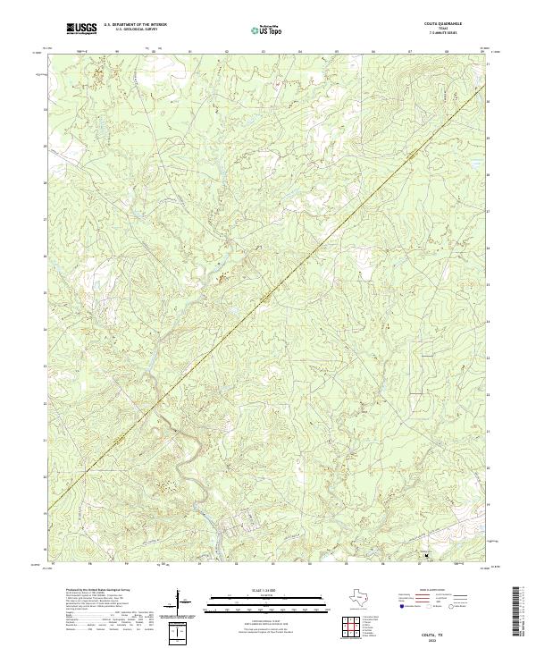
2022 Map of Colita
USGS Topo · Published 2022About this map
Kickapoo Creek and its many tributaries, including Upper Kickapoo Cr and Steam Mill Cr, dominate this wooded landscape along the Trinity and Polk County line. The map reveals a rural network of named roads such as Lumbermans Rd and N Line Rd, which suggest the area's ongoing connection to the local timber industry. Small-scale development is concentrated near the southern boundary along Colita Loop, where the Bethel Cem provides a focal point for genealogical interest and local heritage. In the northeast corner, Carmona Lake serves as a significant hydrological feature near Carmona Rd. The drainage patterns of Rocky Creek and Magnolia Cr further define the undulating terrain of this East Texas region, captured here during a period of modern rural transition.
Find a feature on this map
28 named features on this map. Tap any name to fly to it.
Don’t see what you’re looking for? This feature index may not catch every label — zoom into the map to look around manually.
Map Details
Editions of this 2022 Colita Map
This is the sole edition of this map. No revisions or reprints were ever made.
Other maps of this area

1953 · Palestine
USGS Topo · 1:250,000

1954 · Beaumont
USGS Topo · 1:250,000

1955 · New Willard
USGS Topo · 1:62,500

1957 · Beaumont
USGS Topo · 1:250,000

1957 · Palestine
USGS Topo · 1:250,000

1960 · Colita
USGS Topo · 1:24,000

1960 · Carlisle
USGS Topo · 1:24,000

1961 · Onalaska
USGS Topo · 1:24,000

1963 · Groveton West
USGS Topo · 1:24,000

1963 · Groveton East
USGS Topo · 1:24,000