
1918 Map of College Corner
USGS Topo · Published 1918About this map
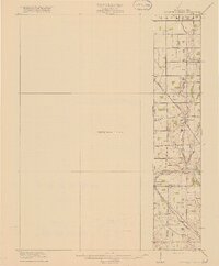
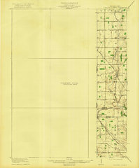
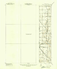
The Indiana Ohio Boundary Line bisects this 1918 preliminary survey, documenting the transition between Preble and Butler counties during a period of established agrarian settlement. The village of College Corner serves as a focal point at the junction of the Cincinnati Indianapolis and Western railroad and several primary thoroughfares, including the Hamilton and Richmond Road.
Find a feature on this map
16 named features on this map. Tap any name to fly to it.
Don’t see what you’re looking for? This feature index may not catch every label — zoom into the map to look around manually.
Map Details
Editions of this 1918 College Corner Map
4 editions found
Other maps of this area

1911 · Oxford
USGS Topo · 1:62,500

1915 · New Paris
USGS Topo · 1:48,000

1915 · College Corner
USGS Topo · 1:48,000

1915 · Harrison
USGS Topo · 1:48,000

1915 · Hamilton
USGS Topo · 1:62,500

1917 · Hamilton
USGS Topo · 1:62,500

1918 · New Paris
USGS Topo · 1:62,500

1948 · Fairfield
USGS Topo · 1:24,000

1953 · Cincinnati
USGS Topo · 1:250,000

1955 · Reily
USGS Topo · 1:24,000