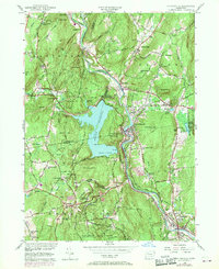
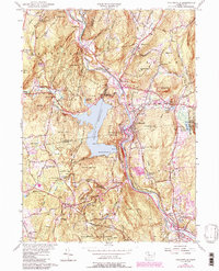
1956 Map of Collinsville
USGS Topo · Published 1970About this map
The Farmington River winds through this mid-century Connecticut landscape, anchoring industrial and residential hubs like Collinsville and Unionville. A major geographical shift is marked by the expansive Nepaug Reservoir, formed by the Nepaug Dam and Phelps Dam, which altered the local topography and replaced earlier land uses. The map illustrates a balance between utility and preservation, with Nepaug State Forest and Nassahegan State Forest flanking the water bodies.
Find a feature on this map
79 named features on this map. Tap any name to fly to it.
Don’t see what you’re looking for? This feature index may not catch every label — zoom into the map to look around manually.
Map Details
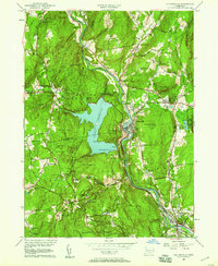
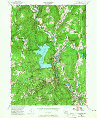
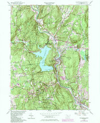
Editions of this 1956 Collinsville Map
5 editions found
Other maps of this area

1892 · Winsted
USGS Topo · 1:62,500

1892 · Meriden
USGS Topo · 1:62,500

1892 · Granby
USGS Topo · 1:62,500

1893 · Waterbury
USGS Topo · 1:62,500

1893 · Meriden
USGS Topo · 1:62,500

1904 · Waterbury
USGS Topo · 1:62,500

1904 · Litchfield
USGS Topo · 1:125,000

1906 · Farmington
USGS Topo · 1:125,000
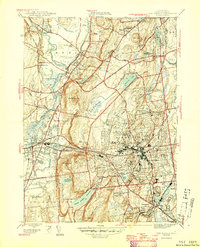
1946 · New Britain
USGS Topo · 1:31,680

1946 · Bristol
USGS Topo · 1:31,680