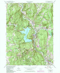
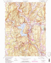
1956 Map of Collinsville
USGS Topo · Published 1984About this map
The Farmington River carves a path through this mid-century landscape, anchoring the industrial and residential centers of Collinsville and Unionville. This 1956 revision, updated with 1980s data, illustrates the significant impact of the Nepaug Reservoir on the local geography, showing the expansive waters held back by Phelps Dam. Beyond the larger towns, the map details smaller rural clusters like Canton Center and Pine Meadow, along with the oddly named Satan's Kingdom north of the river. Local infrastructure is well-documented, from the State Fish Hatchery in Burlington to educational landmarks such as Schoolhouse Hill and Huckleberry Hill Sch. Wooded stretches of the Nepaug State Forest and Nassahegan State Forest dominate the southern and western sections, crisscrossed by trails like the Tunxis Trail.
Find a feature on this map
83 named features on this map. Tap any name to fly to it.
Don’t see what you’re looking for? This feature index may not catch every label — zoom into the map to look around manually.
Map Details
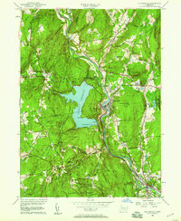
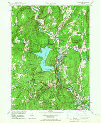
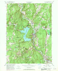
Editions of this 1956 Collinsville Map
5 editions found
Other maps of this area

1892 · Winsted
USGS Topo · 1:62,500

1892 · Meriden
USGS Topo · 1:62,500

1892 · Granby
USGS Topo · 1:62,500

1893 · Waterbury
USGS Topo · 1:62,500

1893 · Meriden
USGS Topo · 1:62,500

1904 · Waterbury
USGS Topo · 1:62,500

1904 · Litchfield
USGS Topo · 1:125,000

1906 · Farmington
USGS Topo · 1:125,000
1946 · New Britain
USGS Topo · 1:31,680

1946 · Bristol
USGS Topo · 1:31,680