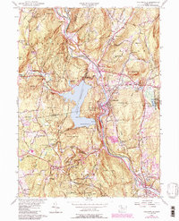
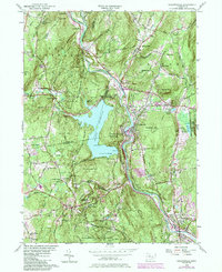
1956 Map of Collinsville
USGS Topo · Published 1988About this map
Nepaug Reservoir dominates the central landscape of this mid-century survey, its expansive waters held by the Phelps Dam and creating a complex shoreline at Zwick Pt. The area is defined by the winding course of the Farmington River, which connects industrial and residential hubs like Collinsville and Unionville. This era shows a transition from traditional rural life to a more managed landscape, evidenced by the large tracts of Nepaug State Forest and Nassahegan State Forest preserved alongside the growing settlements. Local landmarks such as the Burlington Lookout Tower and the State Fish Hatchery highlight the state's conservation efforts during this period. For genealogists and local historians, the map records numerous small communities and family-named features like Bahre Corner, Browns Corner, and the distinctive Satans Kingdom gorge north of the reservoir.
Find a feature on this map
73 named features on this map. Tap any name to fly to it.
Don’t see what you’re looking for? This feature index may not catch every label — zoom into the map to look around manually.
Map Details
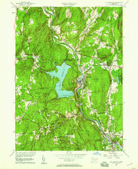
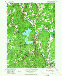
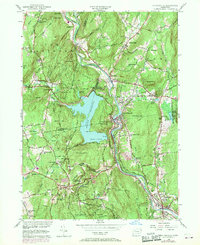
Editions of this 1956 Collinsville Map
5 editions found
Other maps of this area

1892 · Winsted
USGS Topo · 1:62,500

1892 · Meriden
USGS Topo · 1:62,500

1892 · Granby
USGS Topo · 1:62,500

1893 · Waterbury
USGS Topo · 1:62,500

1893 · Meriden
USGS Topo · 1:62,500

1904 · Waterbury
USGS Topo · 1:62,500

1904 · Litchfield
USGS Topo · 1:125,000

1906 · Farmington
USGS Topo · 1:125,000
1946 · New Britain
USGS Topo · 1:31,680

1946 · Bristol
USGS Topo · 1:31,680