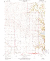
1968 Map of Collison
USGS Topo · Published 1988About this map
Agricultural prairie and wooded river bluffs meet in this mid-century survey of western Vermilion County. The Chicago and Eastern Illinois railroad cuts a diagonal path through the landscape, linking small rural hubs like Collison and Brothers to the regional network. The eastern edge of the map is defined by the winding course of the Middle Fork Vermilion River, where the terrain shifts from the flat stretches of Pilot township to more complex topography near Glenburn.
Find a feature on this map
37 named features on this map. Tap any name to fly to it.
Don’t see what you’re looking for? This feature index may not catch every label — zoom into the map to look around manually.
Map Details
Editions of this 1968 Collison Map
2 editions found
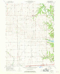
Other maps of this area

1899 · Danville
USGS Topo · 1:62,500

1900 · Danville
USGS Topo · 1:62,500

1931 · Fithian
USGS Topo · 1:48,000

1933 · Hoopeston
USGS Topo · 1:48,000

1936 · Potomac
USGS Topo · 1:62,500

1938 · Hoopeston
USGS Topo · 1:62,500

1943 · Fithian
USGS Topo · 1:62,500

1948 · Danville NW
USGS Topo · 1:24,000

1949 · Danville SW
USGS Topo · 1:24,000

1950 · Danville SW
USGS Topo · 1:24,000