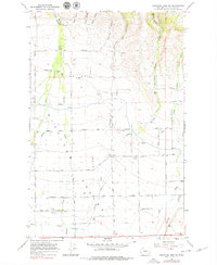
1966 Map of Colockum Pass SW
USGS Topo · Published 1979About this map
Naneum Creek and Wilson Creek flow southward through the irrigated farmlands of the Kittitas Valley, where this 1966 field-checked survey documents a landscape defined by an extensive grid of section-line roads and water management systems. The area is marked by a transition from the rugged drainage of Cooke Canyon and Naneum Gulch in the north to the agricultural development around the State Game Farm in the south. Social and agricultural life is centered on landmarks such as Fairview Hall and the nearby Fire Station, while the rural economy is tied to small settlements like Charlton and Carlson. Extensive water infrastructure, including Canal No 2 and various named pipelines, supports the valley's cattle and farming operations, with gravel resources indicated by several Borrow Pits near the drainage channels.
Find a feature on this map
48 named features on this map. Tap any name to fly to it.
Don’t see what you’re looking for? This feature index may not catch every label — zoom into the map to look around manually.
Map Details
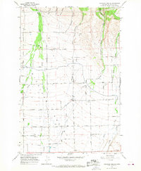
Editions of this 1966 Colockum Pass SW Map
2 editions found
Other maps of this area

1897 · Mount Stuart
USGS Topo · 1:125,000

1899 · Ellensburg
USGS Topo · 1:125,000

1901 · Ellensburg
USGS Topo · 1:125,000

1902 · Mount Stuart
USGS Topo · 1:125,000

1920 · Colockum Pass
USGS Topo · 1:125,000

1922 · Colockum Pass
USGS Topo · 1:125,000

1938 · Badger Pocket
USGS Topo · 1:48,000

1943 · Badger Pocket
USGS Topo · 1:62,500

1950 · Yakima
USGS Topo · 1:250,000
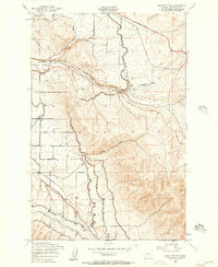
1953 · East Kittitas
USGS Topo · 1:24,000