
1901 Map of Colombia
USGS Topo · Published 1901About this map
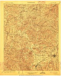
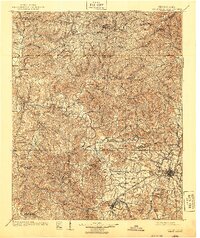
The Duck River meanders through this late nineteenth-century Tennessee landscape, serving as the central artery for a region of rolling hills and hollows across Maury, Hickman, and Williamson counties. Regional connectivity is defined by a network of historic thoroughfares, including the Natchez Trace and numerous turnpikes such as the Columbia and Sheffield Pike and the Columbia and Williamsport Pike, which converge on the growing hub of Columbia. Industrial and economic activity is evident in the presence of Little Rock Mills and Spencers Mill, while the Nashville Chattanooga and St Louis RR and the L & N RR Mt Pleasant Div provided critical rail links for the area's small settlements like Warner and Nunnelly. For the local historian, the map identifies specific landmarks like the U.S. Arsenal, the Lewis Monument, and rural social centers like Zion Ch and the waters at Bonaqua Springs.
Find a feature on this map
139 named features on this map. Tap any name to fly to it.
Don’t see what you’re looking for? This feature index may not catch every label — zoom into the map to look around manually.
Map Details
Editions of this 1901 Colombia Map
3 editions found
Other maps of this area

1903 · Nashville
USGS Topo · 1:125,000

1905 · Waynesboro
USGS Topo · 1:125,000

1909 · Franklin
USGS Topo · 1:62,500

1930 · White Bluff
USGS Topo · 1:62,500

1932 · Nashville
USGS Topo · 1:62,500

1933 · White Bluff
USGS Topo · 1:62,500

1936 · Riverside
USGS Topo · 1:24,000

1936 · Godwin
USGS Topo · 1:24,000

1936 · Sandy Hook
USGS Topo · 1:24,000

1936 · Williamsport
USGS Topo · 1:24,000