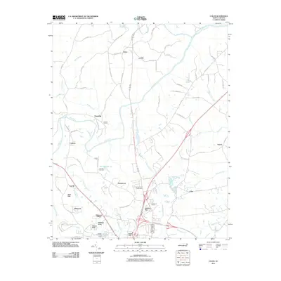
2010 Map of Colon
USGS Topo · Published 2010About this map
The Deep River and Rocky River converge in the northern portion of this map, defining a landscape shaped by significant watercourses and early industrial infrastructure. Evidence of former industry is found along Iron Furnace Rd near Cumnock, while the local economy's history is further reflected in the naming of Copper Mine Creek to the east. Residential growth is evident in several named communities and subdivisions such as Glenwood Village, Highland Acres, and Stoneybrook, which surround the modern transit corridors of the Sanford Bypass. Genealogists may find interest in the Farmville Cemetery near the settlement of Farmville. The map also details water management features like the Sky View Lake Dam and the Holiday Lake Dam Lower, illustrating the role of managed reservoirs in the Lee County landscape.
Find a feature on this map
80 named features on this map. Tap any name to fly to it.
Don’t see what you’re looking for? This feature index may not catch every label — zoom into the map to look around manually.
Map Details
Editions of this 2010 Colon Map
This is the sole edition of this map. No revisions or reprints were ever made.
Other maps of this area

1953 · Raleigh
USGS Topo · 1:250,000

1954 · Raleigh
USGS Topo · 1:250,000

1969 · New Hope Dam
USGS Topo · 1:24,000

1970 · Goldston
USGS Topo · 1:24,000

1970 · Pittsboro
USGS Topo · 1:24,000

1970 · Colon
USGS Topo · 1:24,000

1970 · Moncure
USGS Topo · 1:24,000

1970 · Siler City NE
USGS Topo · 1:24,000

1974 · White Hill
USGS Topo · 1:24,000

1974 · Sanford
USGS Topo · 1:24,000