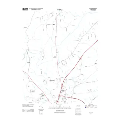
2013 Map of Colon
USGS Topo · Published 2013About this map
The Deep River and Rocky River converge in the northern reaches of this landscape, defining the topography of Lee County during the early 21st century. The map reveals a dense network of residential developments and established communities south of the river bend, including Glenwood Village, Highland Acres, and Hawkins Run. These neighborhoods are situated near the modern transit corridor that bypasses the older settlement of Colon.
Find a feature on this map
158 named features on this map. Tap any name to fly to it.
Don’t see what you’re looking for? This feature index may not catch every label — zoom into the map to look around manually.
Map Details
Editions of this 2013 Colon Map
This is the sole edition of this map. No revisions or reprints were ever made.
Other maps of this area

1953 · Raleigh
USGS Topo · 1:250,000

1954 · Raleigh
USGS Topo · 1:250,000

1969 · New Hope Dam
USGS Topo · 1:24,000

1970 · Goldston
USGS Topo · 1:24,000

1970 · Pittsboro
USGS Topo · 1:24,000

1970 · Colon
USGS Topo · 1:24,000

1970 · Moncure
USGS Topo · 1:24,000

1970 · Siler City NE
USGS Topo · 1:24,000

1974 · White Hill
USGS Topo · 1:24,000

1974 · Sanford
USGS Topo · 1:24,000