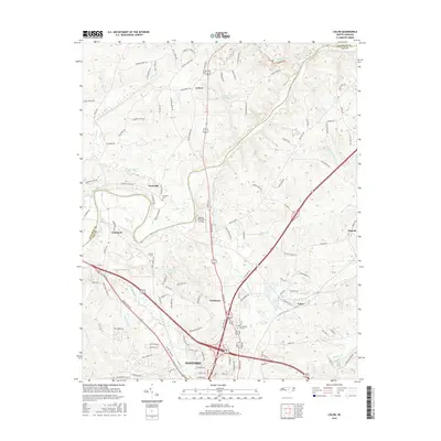
2016 Map of Colon
USGS Topo · Published 2016About this map
The city of Sanford and its northern outskirts are the focus of this study, where the landscape transitions from industrial and residential clusters to the winding path of the Deep River. A complex network of roads like Iron Furnace Rd and Brickyard Rd allude to the area's deep-rooted manufacturing and extractive history. Along the northern boundary, the Chatham Co Lee Co line follows the natural meander of the Rocky River, providing a clear view of the rural topography separating these two North Carolina regions. Small settlements and points of interest such as Colon, Asbury, and Cumnock are well-defined, alongside local landmarks like Lee Memory Gardens and Moretz Riverside Landing. The hydrology of the area is prominent, with Little Buffalo Cr, Big Buffalo Cr, and Sky View Lake punctuating the terrain between growing communities and traditional farmsteads like Farmville.
Find a feature on this map
83 named features on this map. Tap any name to fly to it.
Don’t see what you’re looking for? This feature index may not catch every label — zoom into the map to look around manually.
Map Details
Editions of this 2016 Colon Map
This is the sole edition of this map. No revisions or reprints were ever made.
Other maps of this area

1953 · Raleigh
USGS Topo · 1:250,000

1954 · Raleigh
USGS Topo · 1:250,000

1969 · New Hope Dam
USGS Topo · 1:24,000

1970 · Goldston
USGS Topo · 1:24,000

1970 · Pittsboro
USGS Topo · 1:24,000

1970 · Colon
USGS Topo · 1:24,000

1970 · Moncure
USGS Topo · 1:24,000

1970 · Siler City NE
USGS Topo · 1:24,000

1974 · White Hill
USGS Topo · 1:24,000

1974 · Sanford
USGS Topo · 1:24,000