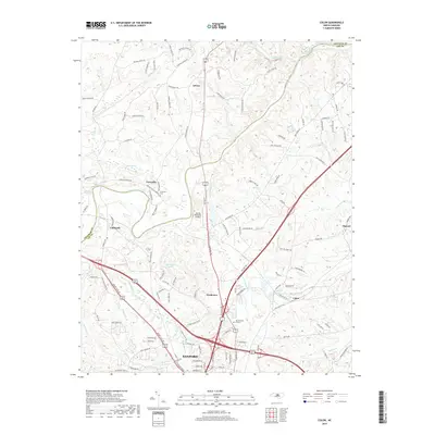
2019 Map of Colon
USGS Topo · Published 2019About this map
Sanford serves as the southern anchor of this landscape, where the confluence of the Deep River and Rocky River shapes the northern terrain. The area is defined by a network of established settlements such as Asbury, Farmville, and Cumnock, alongside newer developments in Northview. Local history is preserved at the Farmville Cem and Lee Memory Gardens, while the transition from Lee County into Chatham County is marked by the winding river courses. The map details the drainage patterns of several tributaries including Big Buffalo Cr and Gum Fork. Residential growth is evident in named roads like Walter Bright Rd and Zion Church Rd, reflecting the modern expansion of these communities while maintaining the geographic identity of rural nodes like Colon and Osgood.
Find a feature on this map
119 named features on this map. Tap any name to fly to it.
Don’t see what you’re looking for? This feature index may not catch every label — zoom into the map to look around manually.
Map Details
Editions of this 2019 Colon Map
This is the sole edition of this map. No revisions or reprints were ever made.
Other maps of this area

1953 · Raleigh
USGS Topo · 1:250,000

1954 · Raleigh
USGS Topo · 1:250,000

1969 · New Hope Dam
USGS Topo · 1:24,000

1970 · Goldston
USGS Topo · 1:24,000

1970 · Pittsboro
USGS Topo · 1:24,000

1970 · Colon
USGS Topo · 1:24,000

1970 · Moncure
USGS Topo · 1:24,000

1970 · Siler City NE
USGS Topo · 1:24,000

1974 · White Hill
USGS Topo · 1:24,000

1974 · Sanford
USGS Topo · 1:24,000