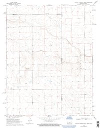
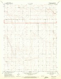
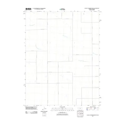
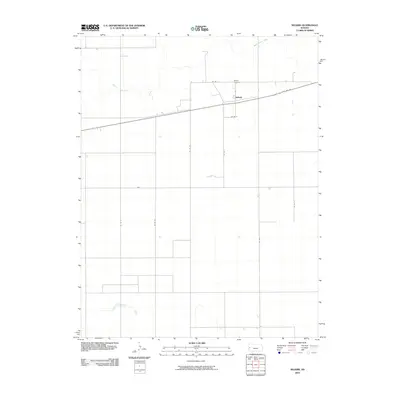
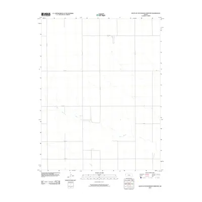
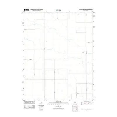
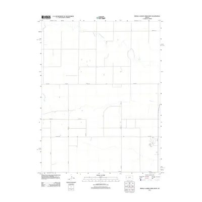
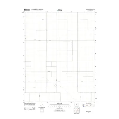
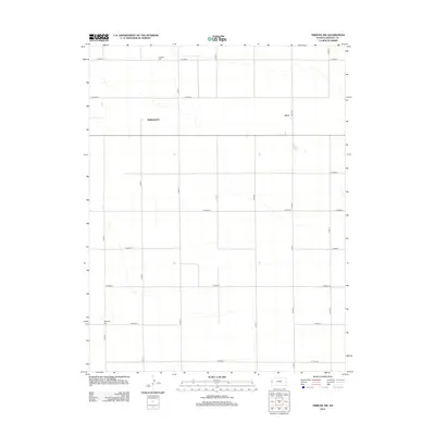
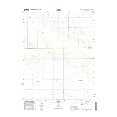
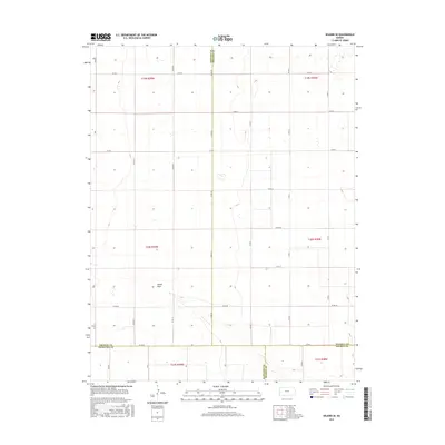
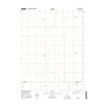
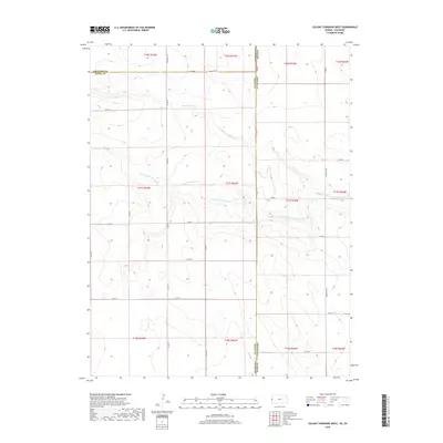
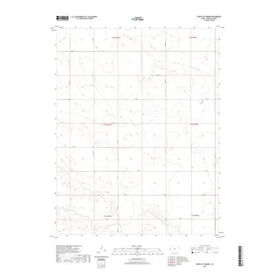
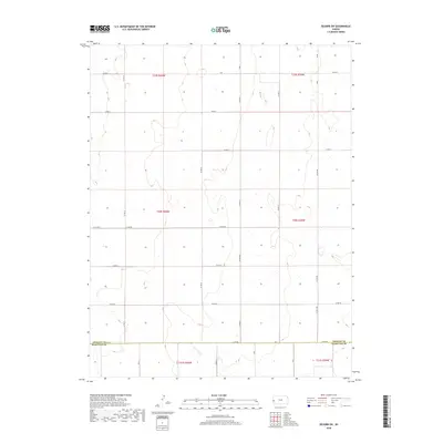
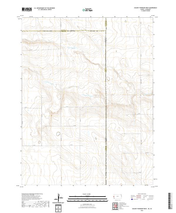
1969 Map of Colony Township West
USGS Topo · Published 1997About this map
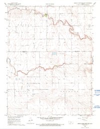
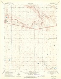
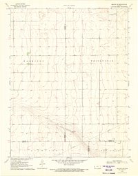
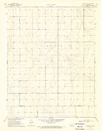
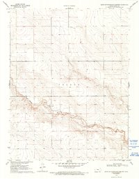
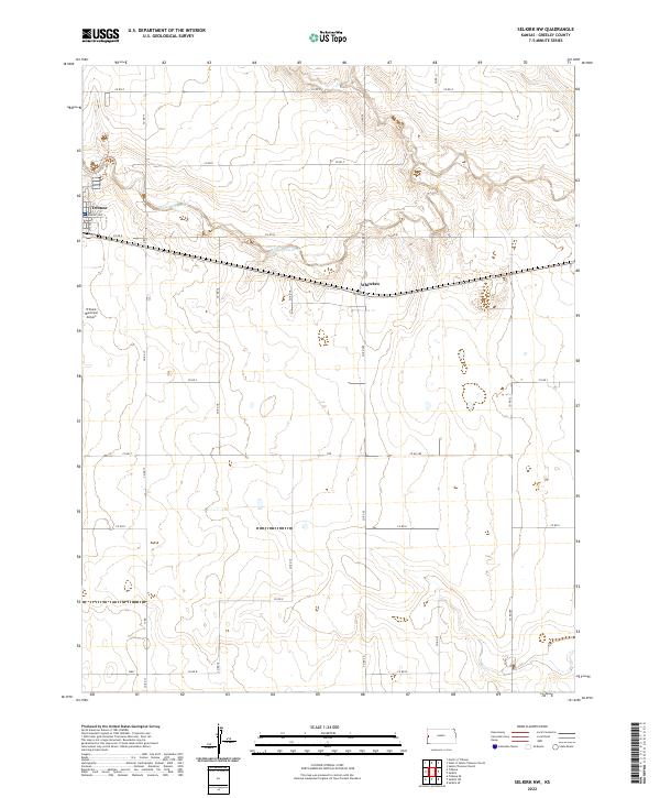
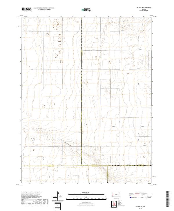
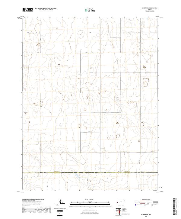
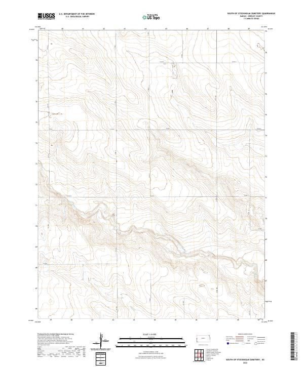
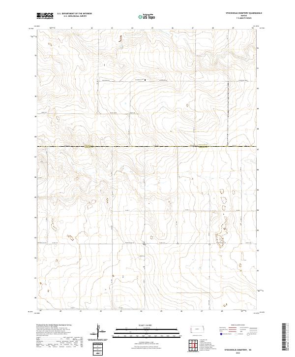
White Woman Creek winds through the high plains of western Kansas and eastern Colorado, carving a distinct drainage pattern across this 1969 topographic survey. The landscape is defined by the intersection of Cheyenne, Kiowa, and Greeley counties, where section lines and unimproved roads form a rigid grid over the undulating terrain. Evidence of local industry and community life appears in the small Gravel Pit operations and a solitary Cem located near the creek’s northern bank. This map provides a clear record of the rural land divisions and the natural watercourse that dictated the early settlement of Colony Township before further modernization of the High Plains agricultural infrastructure.
Find a feature on this map
7 named features on this map. Tap any name to fly to it.
Don’t see what you’re looking for? This feature index may not catch every label — zoom into the map to look around manually.
Map Details
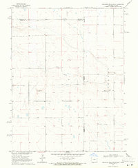
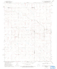
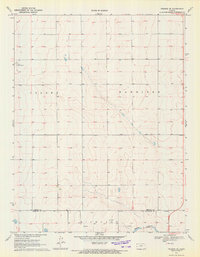
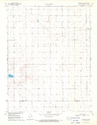
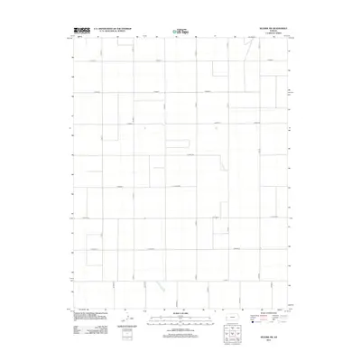
Editions of this 1969 Colony Township West Map
3 editions found
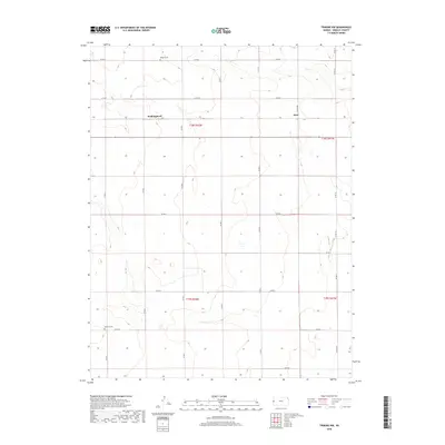
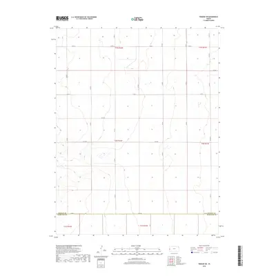
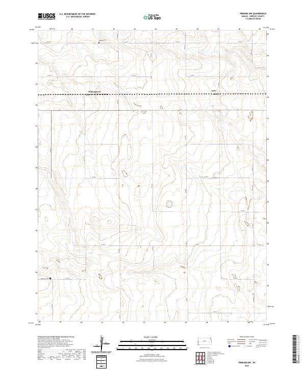
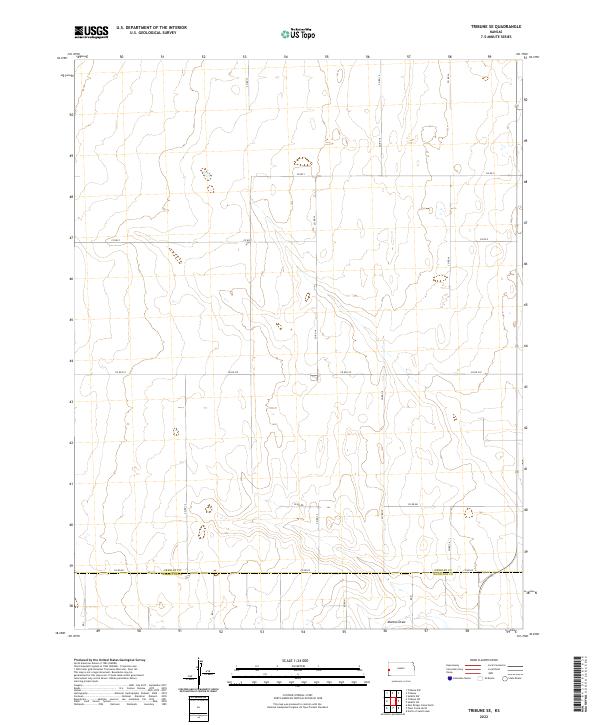
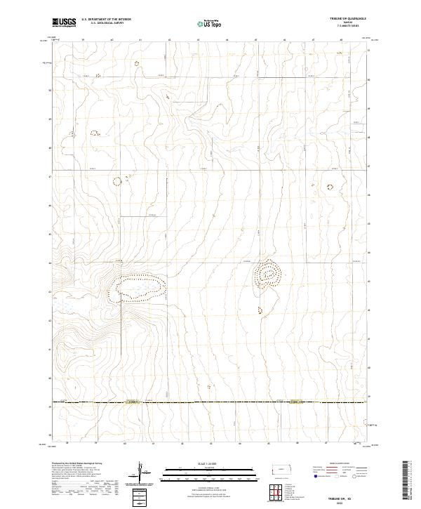
Historical Maps of Tribune Township Through Time
84 maps found
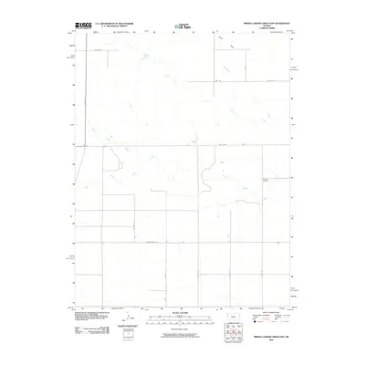
1968 Middle Ladder Creek East
Greeley County, KS
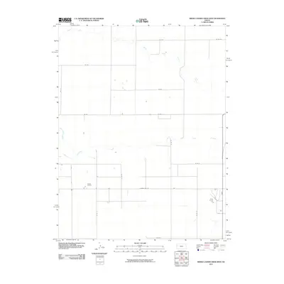
1968 Middle Ladder Creek West
Greeley County, KS
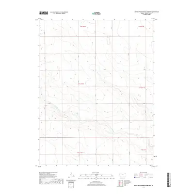
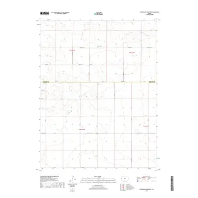
1968 Stockholm Cemetery
Greeley County, KS
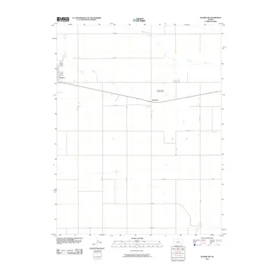
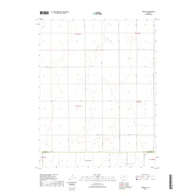
1969 Colony Township West
Greeley County, KS
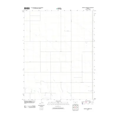
1970 North of Tribune
Greeley County, KS
1970 Selkirk
Greeley County, KS
1970 Selkirk NW
Greeley County, KS
1970 Selkirk SE
Greeley County, KS
1970 Selkirk SW
Greeley County, KS
1970 South of Stockholm Cemetery
Greeley County, KS
1970 Tribune NW
Greeley County, KS
1970 Tribune SE
Greeley County, KS
1970 Tribune SW
Greeley County, KS
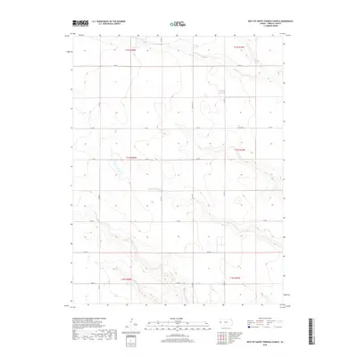
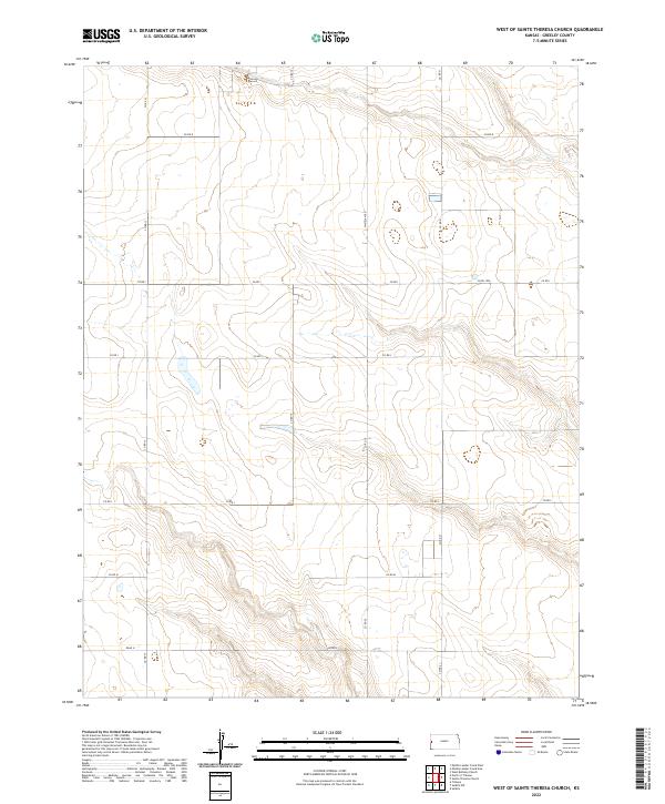
1970 West of St. Theresa Church
Greeley County, KS
2010 Colony Township West
Greeley County, KS
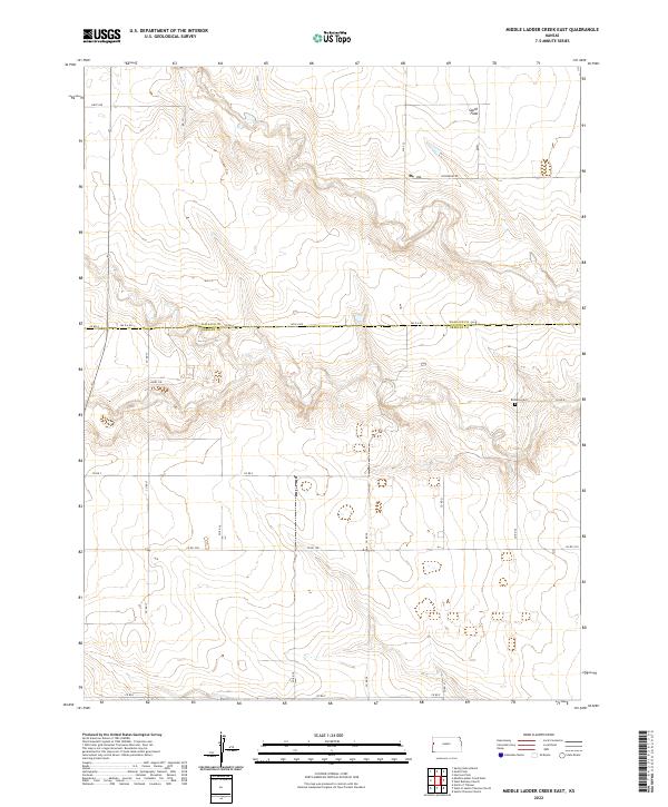
2010 Middle Ladder Creek East
Greeley County, KS
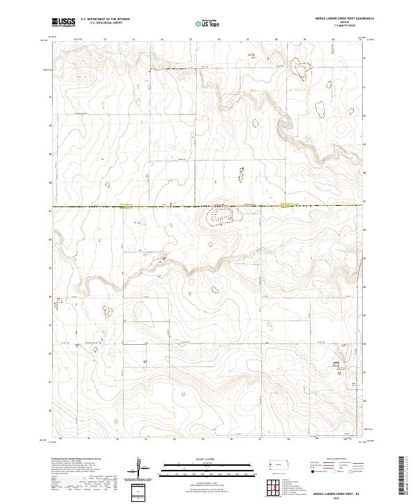
2010 Middle Ladder Creek West
Greeley County, KS
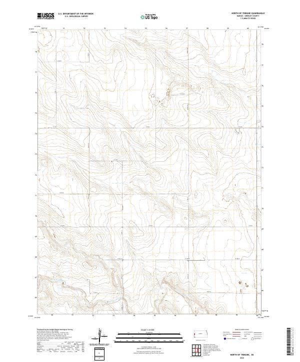
2010 North of Tribune
Greeley County, KS
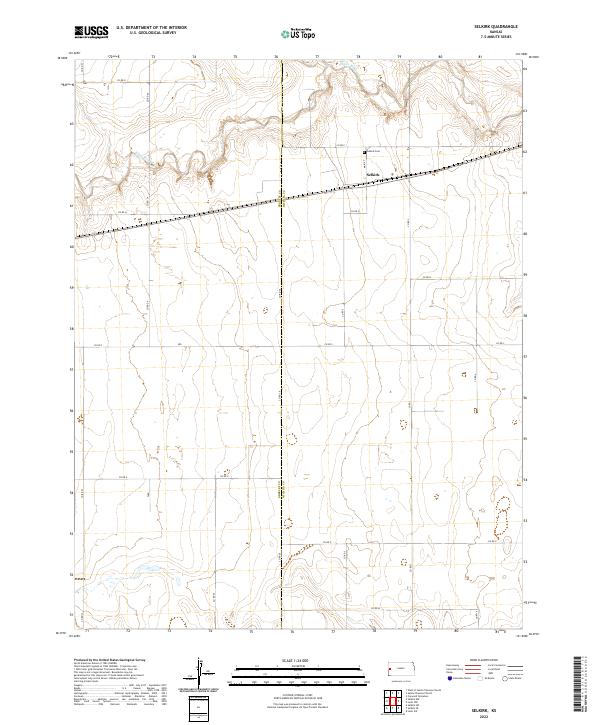
2010 Selkirk
Greeley County, KS
2010 Selkirk NW
Greeley County, KS
2010 Selkirk SE
Greeley County, KS
2010 Selkirk SW
Greeley County, KS
2010 South of Stockholm Cemetery
Greeley County, KS
2010 Stockholm Cemetery
Greeley County, KS
2010 Tribune NW
Greeley County, KS
2010 Tribune SE
Greeley County, KS
2010 Tribune SW
Greeley County, KS
2010 West of Sainte Theresa Church
Greeley County, KS
2012 Colony Township West
Greeley County, KS
2012 Middle Ladder Creek East
Greeley County, KS
2012 Middle Ladder Creek West
Greeley County, KS
2012 North of Tribune
Greeley County, KS
2012 Selkirk
Greeley County, KS
2012 Selkirk NW
Greeley County, KS
2012 Selkirk SE
Greeley County, KS
2012 Selkirk SW
Greeley County, KS
2012 South of Stockholm Cemetery
Greeley County, KS
2012 Stockholm Cemetery
Greeley County, KS
2012 Tribune NW
Greeley County, KS
2012 Tribune SE
Greeley County, KS
2012 Tribune SW
Greeley County, KS
2012 West of Sainte Theresa Church
Greeley County, KS
2015 Middle Ladder Creek East
Greeley County, KS
2015 North of Tribune
Greeley County, KS
2015 Selkirk
Greeley County, KS
2015 Selkirk NW
Greeley County, KS
2015 Selkirk SE
Greeley County, KS
2015 South of Stockholm Cemetery
Greeley County, KS
2015 Stockholm Cemetery
Greeley County, KS
2015 Tribune NW
Greeley County, KS
2015 Tribune SE
Greeley County, KS
2015 Tribune SW
Greeley County, KS
2015 West of Sainte Theresa Church
Greeley County, KS

2016 Colony Township West
Greeley County, KS
2016 Middle Ladder Creek West
Greeley County, KS
2016 Selkirk SW
Greeley County, KS
2018 Colony Township West
Greeley County, KS
2018 Middle Ladder Creek East
Greeley County, KS
2018 Middle Ladder Creek West
Greeley County, KS
2018 North of Tribune
Greeley County, KS
2018 Selkirk
Greeley County, KS
2018 Selkirk NW
Greeley County, KS
2018 Selkirk SE
Greeley County, KS
2018 Selkirk SW
Greeley County, KS
2018 South of Stockholm Cemetery
Greeley County, KS
2018 Stockholm Cemetery
Greeley County, KS
2018 Tribune NW
Greeley County, KS
2018 Tribune SE
Greeley County, KS
2018 Tribune SW
Greeley County, KS
2018 West of Sainte Theresa Church
Greeley County, KS
2022 Colony Township West
Greeley County, KS
2022 Middle Ladder Creek East
Greeley County, KS
2022 Middle Ladder Creek West
Greeley County, KS
2022 North of Tribune
Greeley County, KS
2022 Selkirk
Greeley County, KS
2022 Selkirk NW
Greeley County, KS
2022 Selkirk SE
Greeley County, KS
2022 Selkirk SW
Greeley County, KS
2022 South of Stockholm Cemetery
Greeley County, KS
2022 Stockholm Cemetery
Greeley County, KS
2022 Tribune NW
Greeley County, KS
2022 Tribune SE
Greeley County, KS
2022 Tribune SW
Greeley County, KS
2022 West of Sainte Theresa Church
Greeley County, KS