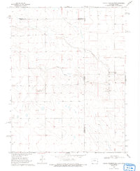
1969 Map of Colony Township West
USGS Topo · Published 1993About this map
White Woman Creek winds through this high plains landscape at the border of Colorado and Kansas. This 1969 field-checked survey reveals a quiet, open terrain primarily defined by the intersections of Cheyenne and Kiowa counties, alongside the interstate line. Settlement is sparse, with infrastructure limited to a singular Cem and isolated industrial markers like the Gravel Pit near the eastern boundary. The map provides an essential look at the land division and natural drainage patterns of Colony township before modern agricultural developments further altered the topography.
Find a feature on this map
8 named features on this map. Tap any name to fly to it.
Don’t see what you’re looking for? This feature index may not catch every label — zoom into the map to look around manually.
Map Details
Editions of this 1969 Colony Township West Map
3 editions found
Other maps of this area

1890 · Granada
USGS Topo · 1:125,000

1892 · Cheyenne Wells
USGS Topo · 1:125,000

1892 · Granada
USGS Topo · 1:125,000

1894 · Cheyenne Wells
USGS Topo · 1:125,000

1894 · Granada
USGS Topo · 1:125,000

1954 · Lamar
USGS Topo · 1:250,000

1955 · Scott City
USGS Topo · 1:250,000

1958 · Lamar
USGS Topo · 1:250,000

1958 · Scott City
USGS Topo · 1:250,000

1968 · Sharon Springs 3 NW
USGS Topo · 1:24,000