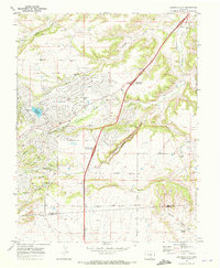
1969 Map of Colorado City
USGS Topo · Published 1972About this map
Colorado City emerges as a planned community in this late-1960s survey, defined by its recreational infrastructure and a network of named boulevards. The landscape is oriented around leisure and residency, featuring a Golf Course, Athletic Field, and a Rodeo Ground situated near Beckwith Reservoir. The suburban layout of streets like Cuerno Verde Blvd and Jefferson Blvd contrasts sharply with the dramatic natural topography to the southeast, where the terrain drops into the steep Graneros Gorge.
Find a feature on this map
36 named features on this map. Tap any name to fly to it.
Don’t see what you’re looking for? This feature index may not catch every label — zoom into the map to look around manually.
Map Details
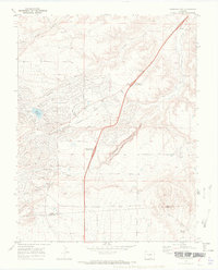
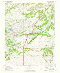
Editions of this 1969 Colorado City Map
3 editions found
Other maps of this area

1891 · Walsenburg
USGS Topo · 1:125,000

1891 · Pueblo
USGS Topo · 1:125,000

1894 · Walsenburg
USGS Topo · 1:125,000

1894 · Pueblo
USGS Topo · 1:125,000

1896 · Pueblo
USGS Topo · 1:125,000

1897 · Pueblo
USGS Topo · 1:125,000

1897 · Walsenburg
USGS Topo · 1:125,000

1900 · Walsenburg
USGS Topo · 1:125,000

1954 · Trinidad
USGS Topo · 1:250,000

1954 · Pueblo
USGS Topo · 1:250,000