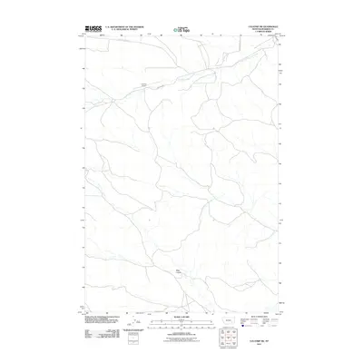
2011 Map of Colstrip SW
USGS Topo · Published 2011About this map
The East Fork Armells Creek drainage system defines this portion of Rosebud County, winding through the northern landscape near the Colstrip Airport. This 2011 survey captures a quiet, rural section of Montana terrain southwest of the main settlement, where the infrastructure is primarily geared toward aviation and ranch access. Connectivity across the rolling drainage is provided by a network of local routes including Stocker Creek Rd, Castle Rock Rd, and Airport Rd. Further south, the map details the subtle geological depression of Rape Coulee, offering researchers a clear view of the natural watercourses and topography before modern developments or further industrial shifts.
Find a feature on this map
6 named features on this map. Tap any name to fly to it.
Don’t see what you’re looking for? This feature index may not catch every label — zoom into the map to look around manually.
Map Details
Editions of this 2011 Colstrip SW Map
This is the sole edition of this map. No revisions or reprints were ever made.
Other maps of this area

1954 · Hardin
USGS Topo · 1:250,000

1957 · Hardin
USGS Topo · 1:250,000

1958 · Hardin
USGS Topo · 1:250,000

1958 · Jimtown
USGS Topo · 1:24,000

1958 · Black Spring
USGS Topo · 1:24,000

1958 · Badger Peak
USGS Topo · 1:24,000

1971 · Trail Creek School
USGS Topo · 1:24,000

1971 · Colstrip SW
USGS Topo · 1:24,000

1971 · Colstrip SE
USGS Topo · 1:24,000

1971 · Rough Draw
USGS Topo · 1:24,000