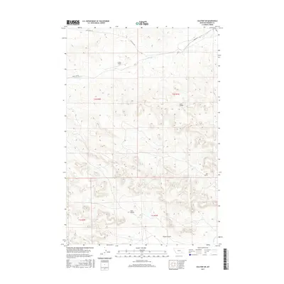
2017 Map of Colstrip SW
USGS Topo · Published 2017About this map
The northern reaches of the Rosebud Creek valley and the undulating drainage basins of southeastern Montana define this landscape. Centered on the rugged transitions between townships, the map shows a territory carved by numerous coulees, including Miller Coulee and Lee Coulee, which flow toward the more prominent watercourses. The drainage of E Fork Armells Cr cuts through the northwest, while the southeastern corner is influenced by Rosebud Cr. This area represents the rural outskirts of the regional energy corridor, where the topography is marked by significant elevation changes that dictate the placement of ranch roads and remote infrastructure.
Find a feature on this map
14 named features on this map. Tap any name to fly to it.
Don’t see what you’re looking for? This feature index may not catch every label — zoom into the map to look around manually.
Map Details
Editions of this 2017 Colstrip SW Map
This is the sole edition of this map. No revisions or reprints were ever made.
Other maps of this area

1954 · Hardin
USGS Topo · 1:250,000

1957 · Hardin
USGS Topo · 1:250,000

1958 · Hardin
USGS Topo · 1:250,000

1958 · Jimtown
USGS Topo · 1:24,000

1958 · Black Spring
USGS Topo · 1:24,000

1958 · Badger Peak
USGS Topo · 1:24,000

1971 · Trail Creek School
USGS Topo · 1:24,000

1971 · Colstrip SW
USGS Topo · 1:24,000

1971 · Colstrip SE
USGS Topo · 1:24,000

1971 · Rough Draw
USGS Topo · 1:24,000