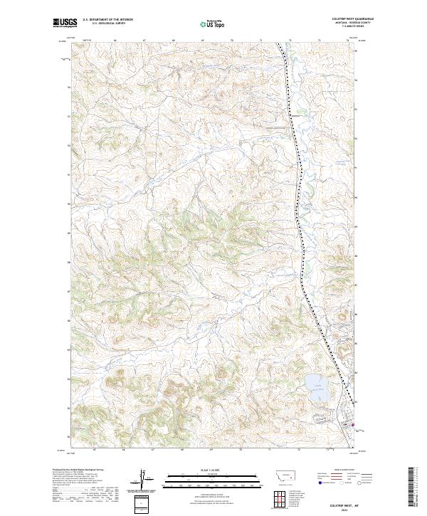
2024 Map of Colstrip West
USGS Topo · Published 2024About this map
McGilvrey Creek and the East Fork Armells Creek drain this portion of Rosebud County, where the high plains landscape transitions into modern residential development. In the southern reach, Castle Rock Lake serves as a significant hydrologic feature, surrounded by a burgeoning network of streets including Cimarron Dr, Hollister Dr, and Browning Dr. This infrastructure suggests the late-20th-century expansion of residential clusters into historically open rangeland.
Find a feature on this map
27 named features on this map. Tap any name to fly to it.
Don’t see what you’re looking for? This feature index may not catch every label — zoom into the map to look around manually.
Map Details
Editions of this 2024 Colstrip West Map
This is the sole edition of this map. No revisions or reprints were ever made.
Other maps of this area

1954 · Hardin
USGS Topo · 1:250,000

1954 · Forsyth
USGS Topo · 1:250,000

1957 · Hardin
USGS Topo · 1:250,000

1957 · Forsyth
USGS Topo · 1:250,000

1958 · Forsyth
USGS Topo · 1:250,000

1958 · Hardin
USGS Topo · 1:250,000

1971 · Trail Creek School
USGS Topo · 1:24,000

1971 · Colstrip SW
USGS Topo · 1:24,000

1971 · Colstrip SE
USGS Topo · 1:24,000

1971 · Rough Draw
USGS Topo · 1:24,000