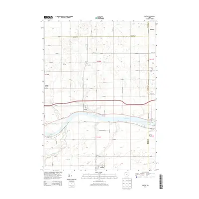
2013 Map of Colton
USGS Topo · Published 2013About this map
The Maumee River corridor defines this portion of Northwest Ohio, where the water cuts a wide path through the agricultural landscape of Henry and Lucas Counties. Along its banks, the settlement of Texas sits near the river's edge, while Grand Rapids and McClure anchor the southern reaches of the quadrangle. The interior is characterized by a precise grid of rural roads and small drainage features like Bad Cr and Coon Cr, reflecting the region's managed hydrology. For those tracing family histories, the map identifies several local burial grounds including Texas Cem, Mohler Union Cem, and North Cem. The hamlet of Colton serves as a central landmark amidst the fields, connected by a network of county roads that have supported the area's farming economy for generations.
Find a feature on this map
117 named features on this map. Tap any name to fly to it.
Don’t see what you’re looking for? This feature index may not catch every label — zoom into the map to look around manually.
Map Details
Editions of this 2013 Colton Map
This is the sole edition of this map. No revisions or reprints were ever made.
Other maps of this area

1908 · Napoleon
USGS Topo · 1:62,500

1909 · Mc Clure
USGS Topo · 1:62,500

1911 · Wauseon
USGS Topo · 1:62,500

1911 · Swanton
USGS Topo · 1:62,500

1913 · Wauseon
USGS Topo · 1:62,500

1914 · Swanton
USGS Topo · 1:62,500

1935 · Grand Rapids
USGS Topo · 1:24,000

1935 · Whitehouse
USGS Topo · 1:24,000
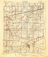
1940 · Whitehouse
USGS Topo · 1:31,680

1940 · Grand Rapids
USGS Topo · 1:31,680