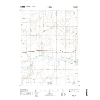
2019 Map of Colton
USGS Topo · Published 2019About this map
The Maumee River defines the southern landscape of this 2019 survey, where the historic settlements of Texas and Grand Rapids flank its banks. The terrain north of the river is a network of drainage ditches including Harris Ditch and Aumend Ditch, reflecting the managed agricultural nature of Henry and Lucas counties. The N Country National Scenic Trail winds through the center of the map, passing near the small community of Colton. Genealogists will find a high concentration of established burial grounds across this rural region, including Mohler-Union Cem, Heath-Colton Cem, and Texas Cem. The map provides a detailed view of the local road system, from township routes to Co RD 7, which serves the outlying areas of Liberty Center and Neapolis.
Find a feature on this map
82 named features on this map. Tap any name to fly to it.
Don’t see what you’re looking for? This feature index may not catch every label — zoom into the map to look around manually.
Map Details
Editions of this 2019 Colton Map
This is the sole edition of this map. No revisions or reprints were ever made.
Other maps of this area

1908 · Napoleon
USGS Topo · 1:62,500

1909 · Mc Clure
USGS Topo · 1:62,500

1911 · Wauseon
USGS Topo · 1:62,500

1911 · Swanton
USGS Topo · 1:62,500

1913 · Wauseon
USGS Topo · 1:62,500

1914 · Swanton
USGS Topo · 1:62,500

1935 · Grand Rapids
USGS Topo · 1:24,000

1935 · Whitehouse
USGS Topo · 1:24,000
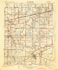
1940 · Whitehouse
USGS Topo · 1:31,680

1940 · Grand Rapids
USGS Topo · 1:31,680