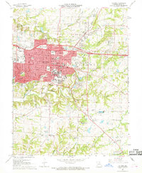
1967 Map of Columbia
USGS Topo · Published 1968About this map
The growing college town of Columbia serves as the focal point of this mid-century survey, dominated by the sprawling campus of the University of Missouri and its iconic Memorial Stadium. The landscape reveals a dense network of local education and healthcare facilities, including Stephens College, Christian College, and the County Hospital. Transportation patterns in this era are defined by the Norfolk and Western RR cutting through the northeast and the Missouri - Kansas - Texas line to the southwest, alongside the emerging interstate corridor of 70.
Find a feature on this map
97 named features on this map. Tap any name to fly to it.
Don’t see what you’re looking for? This feature index may not catch every label — zoom into the map to look around manually.
Map Details
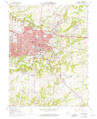
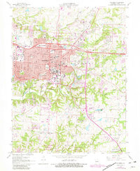
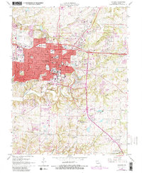
Editions of this 1967 Columbia Map
4 editions found
Other maps of this area

1886 · Jefferson City
USGS Topo · 1:125,000

1890 · Moberly
USGS Topo · 1:125,000

1894 · Jefferson City
USGS Topo · 1:125,000

1917 · Sturgeon
USGS Topo · 1:62,500

1935 · Columbia
USGS Topo · 1:24,000

1940 · Columbia
USGS Topo · 1:24,000

1944 · Millersburg
USGS Topo · 1:62,500

1945 · Centralia
USGS Topo · 1:62,500

1946 · Millersburg
USGS Topo · 1:62,500

1947 · Jefferson City
USGS Topo · 1:250,000