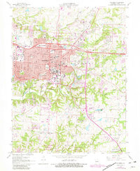
1967 Map of Columbia
USGS Topo · Published 1982About this map
University of Missouri serves as a central anchor for this mid-century Missouri landscape, with its sprawling campus and Memorial Stadium clearly delineated. The city of Columbia exhibits a dense concentration of civic and educational institutions, from the Courthouse and County Hosp to private campuses like Stephens College and Columbia College. Residential expansion is visible through numerous schools such as Parkade Sch and Russell Boulevard Sch, while the surrounding terrain is deeply etched by a network of waterways including Hinkson Creek and Grindstone Creek.
Find a feature on this map
68 named features on this map. Tap any name to fly to it.
Don’t see what you’re looking for? This feature index may not catch every label — zoom into the map to look around manually.
Map Details
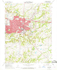
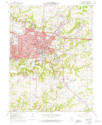
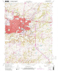
Editions of this 1967 Columbia Map
4 editions found
Other maps of this area

1886 · Jefferson City
USGS Topo · 1:125,000

1890 · Moberly
USGS Topo · 1:125,000

1894 · Jefferson City
USGS Topo · 1:125,000

1917 · Sturgeon
USGS Topo · 1:62,500

1935 · Columbia
USGS Topo · 1:24,000

1940 · Columbia
USGS Topo · 1:24,000

1944 · Millersburg
USGS Topo · 1:62,500

1945 · Centralia
USGS Topo · 1:62,500

1946 · Millersburg
USGS Topo · 1:62,500

1947 · Jefferson City
USGS Topo · 1:250,000