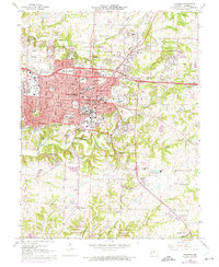
1967 Map of Columbia
USGS Topo · Published 1975About this map
The University of Missouri campus and surrounding city of Columbia dominate this mid-century landscape, showing a period of significant suburban and academic expansion. The map details the central business district near the Courthouse and Post Office, alongside established institutions like Stephens College and Columbia College. Transportation patterns are defined by the Norfolk and Western rail line and the intersection of 70 and Highway 63. To the south, the terrain transitions into the karst topography of Rock Bridge Memorial State Park, where Gans Creek and Clear Creek carve through the limestone. This 1974 revision captures the city's growth with purple photogrammetric updates, highlighting new residential developments and facilities like the University Hospital and Memorial Stadium before the further urbanization of the late 20th century.
Find a feature on this map
94 named features on this map. Tap any name to fly to it.
Don’t see what you’re looking for? This feature index may not catch every label — zoom into the map to look around manually.
Map Details
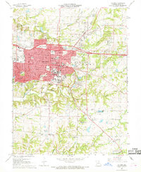
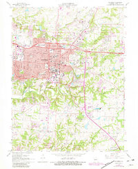
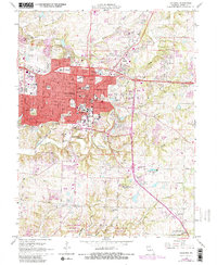
Editions of this 1967 Columbia Map
4 editions found
Other maps of this area

1886 · Jefferson City
USGS Topo · 1:125,000

1890 · Moberly
USGS Topo · 1:125,000

1894 · Jefferson City
USGS Topo · 1:125,000

1917 · Sturgeon
USGS Topo · 1:62,500

1935 · Columbia
USGS Topo · 1:24,000

1940 · Columbia
USGS Topo · 1:24,000

1944 · Millersburg
USGS Topo · 1:62,500

1945 · Centralia
USGS Topo · 1:62,500

1946 · Millersburg
USGS Topo · 1:62,500

1947 · Jefferson City
USGS Topo · 1:250,000