
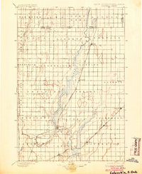
1896 Map of Columbia
USGS Topo · Published 1896About this map
The James River corridor serves as the primary drainage and developmental axis in this late 19th-century survey of the North Dakota South Dakota Boundary Line. The landscape is dominated by the wide, marshy expanses of Sand Lake and Lake Columbia, which flank the river as it flows through the township of Columbia. This era represents a peak for the regional rail-and-river economy, illustrated by the convergence of major lines like the Chicago and Northwestern and the Great Northern. Local history and genealogy researchers will find several small settlements established during the Dakota Boom, including Hecla, Houghton, and Claremont. The map also captures the distinct rectangular township system, with named divisions such as Liberty and Portage defining the early agricultural settlements of the James River Valley.
Find a feature on this map
48 named features on this map. Tap any name to fly to it.
Don’t see what you’re looking for? This feature index may not catch every label — zoom into the map to look around manually.
Map Details
Editions of this 1896 Columbia Map
3 editions found
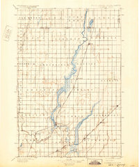
Other maps of this area

1894 · Monango
USGS Topo · 1:62,500

1894 · Ellendale
USGS Topo · 1:62,500

1894 · Hecla
USGS Topo · 1:62,500

1894 · Columbia
USGS Topo · 1:62,500

1894 · Savo
USGS Topo · 1:62,500

1894 · Fullerton
USGS Topo · 1:62,500

1894 · Oakes
USGS Topo · 1:62,500

1895 · Lamoure
USGS Topo · 1:125,000

1895 · Aberdeen
USGS Topo · 1:125,000

1896 · Edgeley
USGS Topo · 1:125,000