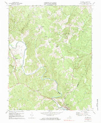
1970 Map of Columbia
USGS Topo · Published 1984About this map
Columbia sits at the southern confluence of the Rivanna River and the Chesapeake and Ohio railroad, anchoring a rural landscape defined by deep river bends and established country settlements in the 1970s. The terrain is marked by significant hydrological features like Hells Bend and Buzzard Rock, which overlook the winding river valley. To the north and west, the map details a network of local centers including Wilmington and Carysbrook, the latter serving as a focal point with its County High Sch and nearby Carys Creek Wayside. Cultural life is recorded through numerous small country churches and family-named landmarks such as Evergreen Ch, Gravel Hill Ch, and Shepherds Store. The map captures the quiet transition of Fluvanna County as it maintained its traditional settlement patterns of crossroads communities like Stage Junction and Holmhead before later modernization.
Find a feature on this map
45 named features on this map. Tap any name to fly to it.
Don’t see what you’re looking for? This feature index may not catch every label — zoom into the map to look around manually.
Map Details
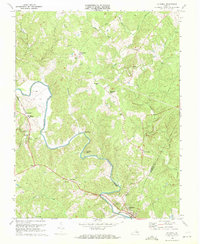
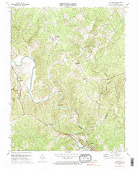
Editions of this 1970 Columbia Map
3 editions found
Other maps of this area

1891 · Palmyra
USGS Topo · 1:125,000

1895 · Palmyra
USGS Topo · 1:125,000

1897 · Palmyra
USGS Topo · 1:125,000

1943 · Scottsville
USGS Topo · 1:62,500

1946 · Scottsville
USGS Topo · 1:62,500

1947 · Roanoke
USGS Topo · 1:250,000

1950 · Dillwyn
USGS Topo · 1:62,500

1958 · Dillwyn
USGS Topo · 1:62,500

1959 · Roanoke
USGS Topo · 1:250,000

1960 · Columbia
USGS Topo · 1:62,500