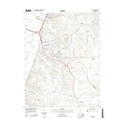
2015 Map of Columbia
USGS Topo · Published 2015About this map
Columbia and Waterloo anchor this portion of the Illinois uplands, where the landscape transitions from the bluffs down into the American Bottoms. The area's settlement history is etched into the terrain through numerous family and community burial grounds, including the Shoemaker Cem and McConkey Cem. Transportation routes such as Old Route 3 and Bixby Rd connect the smaller communities of Dupo, Bixby, and New Hanover. The geography is defined by a series of creeks and lakes like Palmer Cr, Wilson Cr, and the Columbia Sportsman Club Lake. Near the municipal boundaries, small airfields such as Sackman Field and Riebeling Airport indicate the rural aviation character of the region. The map also captures the distinct boundary line separating ST. Clair Co and Monroe Co, tracing the historic jurisdictional divisions that shaped local development.
Find a feature on this map
148 named features on this map. Tap any name to fly to it.
Don’t see what you’re looking for? This feature index may not catch every label — zoom into the map to look around manually.
Map Details
Editions of this 2015 Columbia Map
This is the sole edition of this map. No revisions or reprints were ever made.
Other maps of this area

1888 · St. Louis
USGS Topo · 1:62,500

1910 · Waterloo
USGS Topo · 1:62,500

1912 · Kimmswick
USGS Topo · 1:62,500

1913 · Waterloo
USGS Topo · 1:62,500

1916 · Kimmswick
USGS Topo · 1:62,500

1931 · French Village
USGS Topo · 1:24,000

1933 · Jefferson Barracks
USGS Topo · 1:24,000

1933 · Cahokia
USGS Topo · 1:24,000

1934 · Cahokia
USGS Topo · 1:24,000

1935 · French Village
USGS Topo · 1:24,000