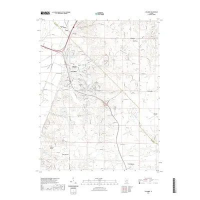
2021 Map of Columbia
USGS Topo · Published 2021About this map
The American Bottoms and the limestone bluffs of Monroe County define this landscape, where the city of Columbia serves as a central hub between the Mississippi River floodplain and the higher agricultural ground to the east. The map captures a complex network of historical transit and industry, featuring the Illinois Central Gulf rail line and extraction sites like Columbia Quarry RD. The transition from the low-lying Fish Lake area to the elevated terrain of Cement Hollow illustrates the geological shift that has dictated local land use for generations.
Find a feature on this map
71 named features on this map. Tap any name to fly to it.
Don’t see what you’re looking for? This feature index may not catch every label — zoom into the map to look around manually.
Map Details
Editions of this 2021 Columbia Map
This is the sole edition of this map. No revisions or reprints were ever made.
Other maps of this area

1888 · St. Louis
USGS Topo · 1:62,500

1910 · Waterloo
USGS Topo · 1:62,500

1912 · Kimmswick
USGS Topo · 1:62,500

1913 · Waterloo
USGS Topo · 1:62,500

1916 · Kimmswick
USGS Topo · 1:62,500

1931 · French Village
USGS Topo · 1:24,000

1933 · Jefferson Barracks
USGS Topo · 1:24,000

1933 · Cahokia
USGS Topo · 1:24,000

1934 · Cahokia
USGS Topo · 1:24,000

1935 · French Village
USGS Topo · 1:24,000