
1961 Map of Columbus
USGS Topo · Published 1961About this map
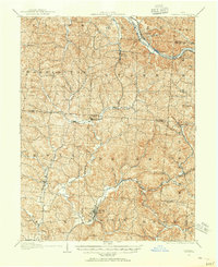
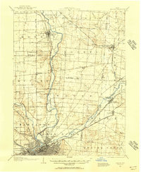
The Columbus metropolitan area serves as the anchor for this 1961 revision of Central and Southern Ohio, where the flat till plains to the west meet the rising Appalachian Plateau to the southeast. Major military installations like Lockbourne USAF and Clinton Co USAF reflect the strategic importance of the region during the mid-century, while the dense network of the Pennsylvania and Baltimore And Ohio railroads traces the industrial corridor through Zanesville and Springfield.
Find a feature on this map
103 named features on this map. Tap any name to fly to it.
Don’t see what you’re looking for? This feature index may not catch every label — zoom into the map to look around manually.
Map Details
Editions of this 1961 Columbus Map
This is the sole edition of this map. No revisions or reprints were ever made.
Other maps of this area

1901 · Dublin
USGS Topo · 1:62,500

1902 · Westerville
USGS Topo · 1:62,500

1903 · Dublin
USGS Topo · 1:62,500

1903 · Athens
USGS Topo · 1:62,500

1904 · Westerville
USGS Topo · 1:62,500

1904 · Springfield
USGS Topo · 1:62,500
1904 · Zaleski
USGS Topo · 1:62,500
1904 · Dayton
USGS Topo · 1:62,500

1904 · Chesterhill
USGS Topo · 1:62,500

1905 · Athens
USGS Topo · 1:62,500