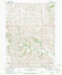
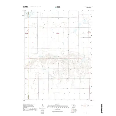
2021 Map of Columbus SE
USGS Topo · Published 2021About this map
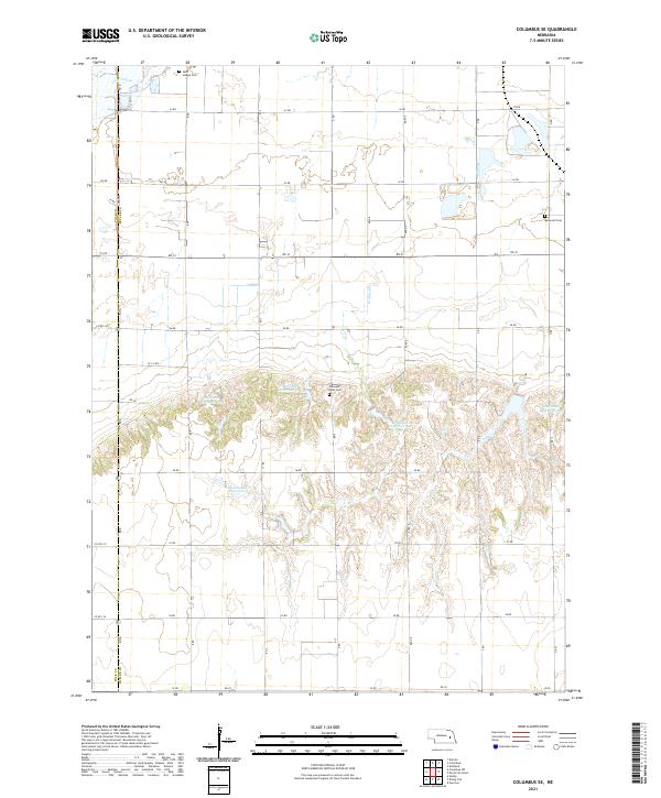
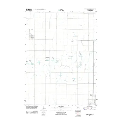
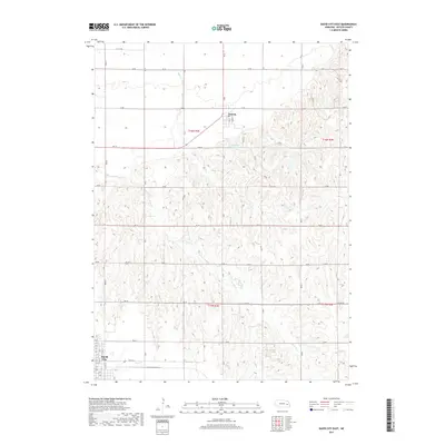
The rolling agricultural landscape of Polk and Butler counties is defined here by a series of engineered water management projects and rural landmarks. A concentration of water bodies including Bellwood Reservoir 3-A, Bellwood Reservoir 3-C, and Gruenewald Reservoir suggests a managed hydrologic system designed for irrigation or livestock across the Nebraska prairie. These man-made features contrast with natural drainages such as Clear Creek and Wilson Cr. For those researching local heritage, the map identifies several significant burial sites, including Saint Joseph Cem, Bellwood Cem, and Pleasant View Cem, which serve as permanent markers for the surrounding farmsteads. The rigid section-line road network, including 43 RD and 35 RD, illustrates the systematic land division characteristic of the Great Plains, providing a clear record of the rural infrastructure in the early twenty-first century.
Find a feature on this map
33 named features on this map. Tap any name to fly to it.
Don’t see what you’re looking for? This feature index may not catch every label — zoom into the map to look around manually.
Map Details
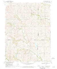
Editions of this 2021 Columbus SE Map
This is the sole edition of this map. No revisions or reprints were ever made.
Historical Maps of Butler County Through Time
25 maps found
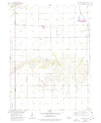
1958 Columbus SE
Butler County, NE
1968 David City East
Butler County, NE
1968 David City West
Butler County, NE
1969 Loma
Butler County, NE
1969 Valparaiso SW
Butler County, NE
2011 Columbus SE
Butler County, NE
2011 David City East
Butler County, NE
2011 David City West
Butler County, NE
2011 Loma
Butler County, NE
2011 Valparaiso SW
Butler County, NE
2014 Columbus SE
Butler County, NE
2014 David City East
Butler County, NE

2014 David City West
Butler County, NE
2014 Loma
Butler County, NE
2014 Valparaiso SW
Butler County, NE
2017 Columbus SE
Butler County, NE
2017 David City East
Butler County, NE
2017 David City West
Butler County, NE
2017 Loma
Butler County, NE
2017 Valparaiso SW
Butler County, NE
2021 Columbus SE
Butler County, NE
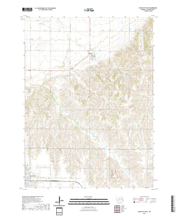
2021 David City East
Butler County, NE
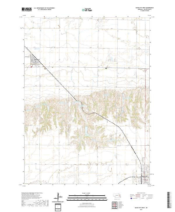
2021 David City West
Butler County, NE
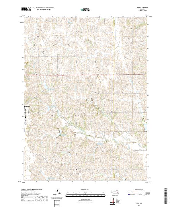
2021 Loma
Butler County, NE
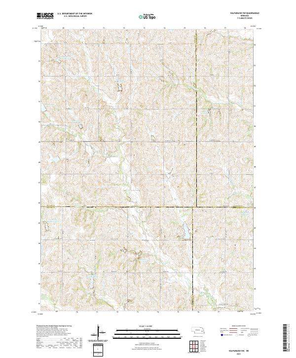
2021 Valparaiso SW
Butler County, NE