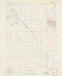
1952 Map of Colusa
USGS Topo · Published 1969About this map
The city of Colusa sits against a sharp eastern bend of the Sacramento River, serving as a focal point for the surrounding Sacramento Valley agricultural lands during the mid-century. This 1952 survey documents a landscape defined by an intricate network of waterways and irrigation infrastructure, including the Irrigation Canal, Hopkins Slough, and Cheney Slough. The town's grid is well-established, featuring the Webster Union High Sch and the County Fairgrounds. Outside the urban center, the Colusa National Wildlife Refuge occupies a large portion of the southern terrain, where Powell Slough and various marshes provide a stark contrast to the surrounding gridded farm plots. Transportation is anchored by the Southern Pacific railroad line and localized aviation at the Colusa Airport, while smaller rural nodes like The Four Corners mark the intersections of the valley's straight-line road network.
Find a feature on this map
49 named features on this map. Tap any name to fly to it.
Don’t see what you’re looking for? This feature index may not catch every label — zoom into the map to look around manually.
Map Details
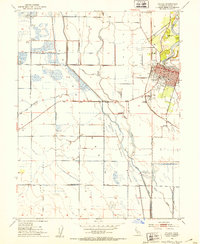
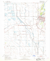
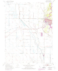
Editions of this 1952 Colusa Map
4 editions found
Other maps of this area

1888 · Marysville
USGS Topo · 1:125,000

1891 · Marysville
USGS Topo · 1:125,000

1894 · Marysville
USGS Topo · 1:125,000

1895 · Marysville
USGS Topo · 1:125,000

1906 · Maxwell
USGS Topo · 1:62,500

1907 · Colusa
USGS Topo · 1:62,500

1911 · Sanborn Slough
USGS Topo · 1:31,680

1911 · Grimes
USGS Topo · 1:31,680

1912 · Meridian
USGS Topo · 1:31,680

1917 · Compton Landing
USGS Topo · 1:31,680