Loading...
Loading map...1932 Map of Combes
USGS Topo · Published 1945About this map
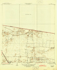
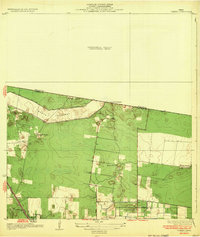
The agricultural landscape of the Rio Grande Valley unfolds in this 1929 survey of Combes, Texas. A prominent feature of the terrain is the wide North Floodway, designed to manage the region's periodic deluge, which cuts across the northern half of the quadrangle. Several family-named homesteads and ranches, including La Puerta Ranch, La Chatonas Ranch, and El Garza Ranch, are scattered across the plains, reflecting the area's ranching heritage and land grant history.
Find a feature on this map
17 named features on this map. Tap any name to fly to it.
Don’t see what you’re looking for? This feature index may not catch every label — zoom into the map to look around manually.
Map Details
Date Portrayed1932
Date Published1945
PublisherU.S. Geological Survey
Map TypeTopographic
Scale1:31,680
Physical Dimensions17 x 20.9 inches
Editions of this 1932 Combes Map
2 editions found
Historical Maps of Harlingen Through Time
1 maps found
Featured Locations
Source Details
SourceU.S. Geological Survey
CopyrightPublic Domain