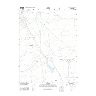
2012 Map of Comins Lake
USGS Topo · Published 2012About this map
Comins Lake and its surrounding high-desert terrain define this portion of White Pine County, where water sources like Fish Pond Springs and Shallenberger Spring have long influenced settlement and land use. The presence of the CCC Ranch and several canyons, including Sawmill Canyon and Mosier Canyon, indicates a landscape shaped by both ranching and seasonal drainage from Wagner Hill. Historical industrial activity is evidenced by the locations of the Monitor Mill and Argus Mill near Monitor Field, marking the area's mining or milling legacy.
Find a feature on this map
35 named features on this map. Tap any name to fly to it.
Don’t see what you’re looking for? This feature index may not catch every label — zoom into the map to look around manually.
Map Details
Editions of this 2012 Comins Lake Map
This is the sole edition of this map. No revisions or reprints were ever made.
Other maps of this area

1952 · Ely
USGS Topo · 1:125,000

1956 · Ely
USGS Topo · 1:250,000

1958 · Ruth
USGS Topo · 1:24,000

1958 · East Ely
USGS Topo · 1:24,000

1958 · Comins Lake
USGS Topo · 1:24,000

1958 · Ely
USGS Topo · 1:62,500

1958 · McGill
USGS Topo · 1:62,500

1958 · Ely
USGS Topo · 1:24,000

1959 · Ely
USGS Topo · 1:250,000

1959 · Connors Pass
USGS Topo · 1:62,500