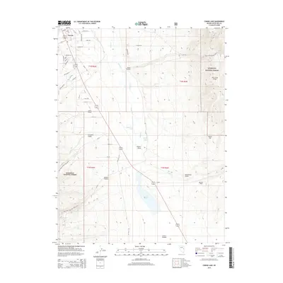
2014 Map of Comins Lake
USGS Topo · Published 2014About this map
East Ely occupies the northwest corner of this high-desert landscape, where residential streets like Pennsylvania Ave and Grant Ave meet the broader expanse of the Steptoe Valley. The terrain is defined by dramatic elevation changes, rising from the valley floor toward the Duck Creek Range in the east and the canyons of the Humboldt National Forest to the west. This 2014 survey documents the vital water resources of the arid Great Basin, including Comins Lake and numerous water sources such as Shallenberger Spring and Fish Pond Springs.
Find a feature on this map
56 named features on this map. Tap any name to fly to it.
Don’t see what you’re looking for? This feature index may not catch every label — zoom into the map to look around manually.
Map Details
Editions of this 2014 Comins Lake Map
This is the sole edition of this map. No revisions or reprints were ever made.
Other maps of this area

1952 · Ely
USGS Topo · 1:125,000

1956 · Ely
USGS Topo · 1:250,000

1958 · Ruth
USGS Topo · 1:24,000

1958 · East Ely
USGS Topo · 1:24,000

1958 · Comins Lake
USGS Topo · 1:24,000

1958 · Ely
USGS Topo · 1:62,500

1958 · McGill
USGS Topo · 1:62,500

1958 · Ely
USGS Topo · 1:24,000

1959 · Ely
USGS Topo · 1:250,000

1959 · Connors Pass
USGS Topo · 1:62,500