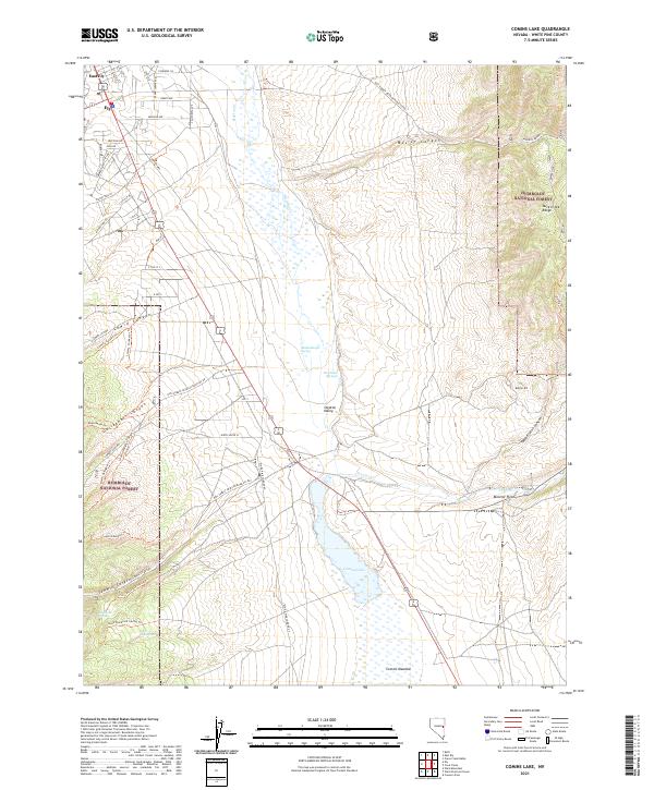
2021 Map of Comins Lake
USGS Topo · Published 2021About this map
Steptoe Valley dominates this high-altitude landscape, where the waters of Steptoe Cr and several natural springs converge toward the basin of Comins Lake. Situated south of the reaching outskirts of Ely and East Ely, the area is defined by the transition from the valley floor to the prominent peaks of the Duck Creek Range and the protected lands of the Humboldt National Forest. Local resource management is evident through features like Monitor Field and Comins Meadow, while a network of forest development roads and trails, such as the Lowry Canyon Trl and Blackrock Spring Trl, provides access to the deep canyons of the surrounding mountains. The map details numerous water sources essential to this arid region, including Shallenberger Spring and Fish Pond Springs, reflecting the critical role of hydrography in the settlement and ecology of White Pine County.
Find a feature on this map
49 named features on this map. Tap any name to fly to it.
Don’t see what you’re looking for? This feature index may not catch every label — zoom into the map to look around manually.
Map Details
Editions of this 2021 Comins Lake Map
This is the sole edition of this map. No revisions or reprints were ever made.
Other maps of this area

1952 · Ely
USGS Topo · 1:125,000

1956 · Ely
USGS Topo · 1:250,000

1958 · Ruth
USGS Topo · 1:24,000

1958 · East Ely
USGS Topo · 1:24,000

1958 · Comins Lake
USGS Topo · 1:24,000

1958 · Ely
USGS Topo · 1:62,500

1958 · McGill
USGS Topo · 1:62,500

1958 · Ely
USGS Topo · 1:24,000

1959 · Ely
USGS Topo · 1:250,000

1959 · Connors Pass
USGS Topo · 1:62,500