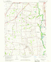
1966 Map of Commercial Point
USGS Topo · Published 1968About this map
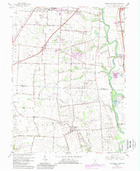
Scioto River and Big Walnut Creek converge in this mid-1960s landscape, illustrating the transition from rural Ohio farmland to suburban expansion. Along the northern edge, the southern reach of Grove City is visible, featuring the Southwestern Technical School and City Park. The rural character of the terrain is defined by a dense network of family-named roads like Rensch Road and Borror Road, alongside numerous small family and community burial grounds including Seeds Cemetery and Beckett Cemetery.
Find a feature on this map
52 named features on this map. Tap any name to fly to it.
Don’t see what you’re looking for? This feature index may not catch every label — zoom into the map to look around manually.
Map Details
Editions of this 1966 Commercial Point Map
2 editions found
Other maps of this area

1911 · Era
USGS Topo · 1:62,500

1913 · Era
USGS Topo · 1:62,500

1914 · Circleville
USGS Topo · 1:62,500

1923 · West Columbus
USGS Topo · 1:62,500

1925 · East Columbus
USGS Topo · 1:62,500

1925 · West Columbus
USGS Topo · 1:62,500

1943 · Era
USGS Topo · 1:62,500

1943 · Circleville
USGS Topo · 1:62,500

1943 · East Columbus
USGS Topo · 1:62,500

1947 · Columbus
USGS Topo · 1:250,000