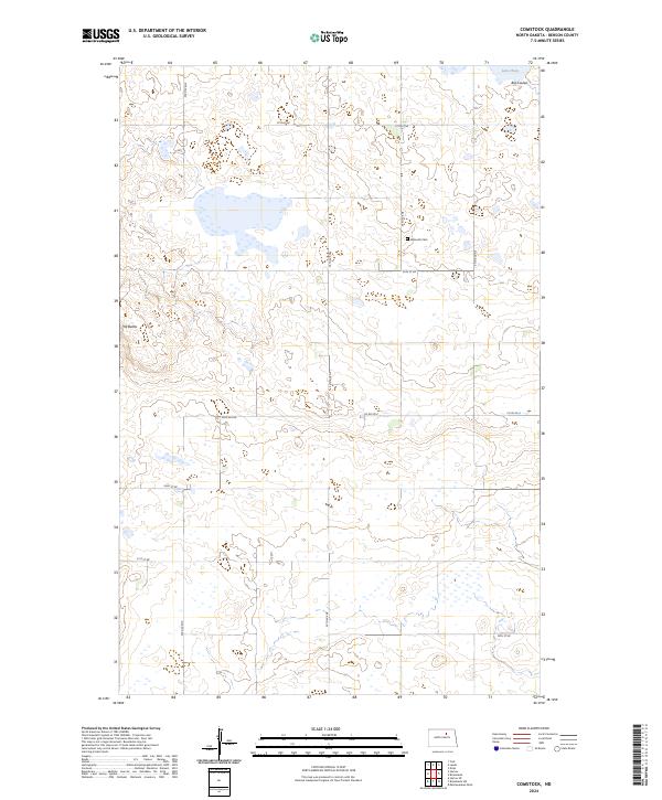
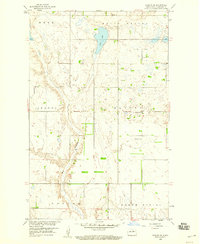
2024 Map of Comstock
USGS Topo · Published 2024About this map
Benson County Waterfowl Production Area dominates much of this prairie landscape, where numerous wetlands and small basins dot the terrain. The presence of the Wilmerth Cem along 56th Ave NE provides a specific point of interest for genealogists tracing early families in this part of Benson County. To the northeast, the terrain shifts near Big Coulee and the edge of Lake Ibsen, marking the transition into larger water systems. A distinctive rise known as The Buttes stands out in the western portion of the quadrangle, breaking the otherwise low-lying topography. The map illustrates a strictly rural section of North Dakota, defined by the systematic grid of the Public Land Survey System, including boundaries for t155n r68w and t154n r69w.
Find a feature on this map
19 named features on this map. Tap any name to fly to it.
Don’t see what you’re looking for? This feature index may not catch every label — zoom into the map to look around manually.
Map Details
Editions of this 2024 Comstock Map
This is the sole edition of this map. No revisions or reprints were ever made.
Other maps of this area

1953 · Devils Lake
USGS Topo · 1:250,000

1956 · Devils Lake
USGS Topo · 1:250,000

1956 · Brinsmade
USGS Topo · 1:24,000

1957 · Comstock
USGS Topo · 1:24,000
1957 · Brinsmade
USGS Topo · 1:24,000
1958 · Minnewaukan West
USGS Topo · 1:24,000
1958 · Brinsmade SW
USGS Topo · 1:24,000

1958 · Harlow
USGS Topo · 1:24,000
1958 · Harlow SE
USGS Topo · 1:24,000

1971 · York
USGS Topo · 1:24,000