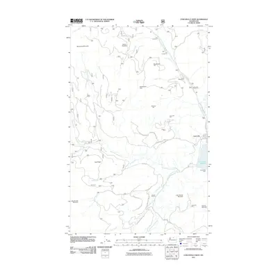
2011 Map of Conconully West
USGS Topo · Published 2011About this map
Conconully sits at the eastern edge of this Okanogan County landscape, where the North Fork Salmon Creek and West Fork Salmon Creek meet to fill the Conconully Reservoir. The area’s history of prospecting is evident in the cluster of workings on the eastern slopes, including the Gubser Mine, Wheeler Mine, and Sunny Peak Mine. These industrial markers contrast with the recreational and agricultural sites scattered throughout the Okanogan National Forest. Ranching interests are represented by the Meyer Ranch and Reed Ranch, located along the winding drainages of Muckamuck Creek and Rusty Creek. The high-elevation terrain is defined by prominent peaks like Muckamuck Mountain and Little Granite Mountain, while established campgrounds such as Alder Campground and Oriole Campground line the creekside flats.
Find a feature on this map
48 named features on this map. Tap any name to fly to it.
Don’t see what you’re looking for? This feature index may not catch every label — zoom into the map to look around manually.
Map Details
Editions of this 2011 Conconully West Map
This is the sole edition of this map. No revisions or reprints were ever made.
Other maps of this area
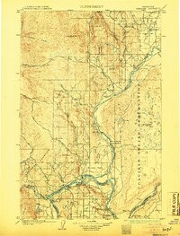
1905 · Okanogan
USGS Topo · 1:125,000
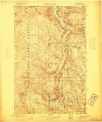
1906 · Chopaka
USGS Topo · 1:125,000
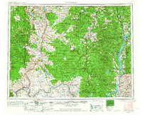
1954 · Okanogan
USGS Topo · 1:250,000
1956 · Loup Loup
USGS Topo · 1:62,500
1956 · Tiffany Mountain
USGS Topo · 1:62,500
1957 · Okanogan
USGS Topo · 1:62,500
1957 · Conconully
USGS Topo · 1:62,500
1958 · Okanogan
USGS Topo · 1:250,000
1980 · Blue Goat Mtn
USGS Topo · 1:24,000
1980 · Ruby Hill
USGS Topo · 1:24,000