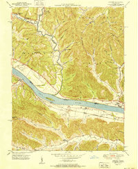
1951 Map of Concord
USGS Topo · Published 1951About this map
The Ohio River valley serves as the central artery for this 1951 study of the borderlands between Adams County, Ohio, and Lewis County, Kentucky. In the mid-twentieth century, the Chesapeake and Ohio railroad line follows the southern bank, connecting riverside settlements like Concord and Rome to larger markets. This era shows a landscape where rural community life is anchored by institutions such as Beasley Fork School and Taylor Chapel, alongside several family cemeteries like the Nesbitt and Armstrong burial grounds.
Find a feature on this map
72 named features on this map. Tap any name to fly to it.
Don’t see what you’re looking for? This feature index may not catch every label — zoom into the map to look around manually.
Map Details
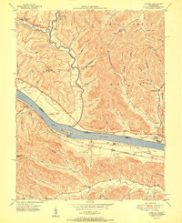
Editions of this 1951 Concord Map
2 editions found
Other maps of this area

1916 · Peebles
USGS Topo · 1:62,500

1918 · Peebles
USGS Topo · 1:62,500

1918 · Seaman
USGS Topo · 1:62,500

1919 · Vanceburg
USGS Topo · 1:62,500

1929 · Springdale
USGS Topo · 1:48,000

1935 · Springdale
USGS Topo · 1:62,500

1949 · Vanceburg
USGS Topo · 1:62,500

1949 · Buena Vista
USGS Topo · 1:24,000

1949 · Vanceburg
USGS Topo · 1:24,000

1949 · Concord
USGS Topo · 1:24,000