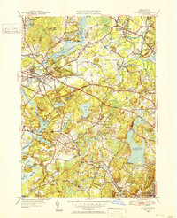
1950 Map of Concord
USGS Topo · Published 1952About this map
The Assabet River and Sudbury River converge to form the Concord River at the heart of this mid-century landscape, a region defined by its transition from a historic agrarian past to a modern transportation hub. The town of Concord serves as a central node, surrounded by landmarks of early American thought like Authors Ridge and the Walden Pond State Reservation. To the northeast, the development of the Bedford Airport and the expansive Bedford Levels suggest the post-war shift toward aviation and suburban infrastructure, contrasting with the preservation of natural wetlands at Concord Great Meadows.
Find a feature on this map
83 named features on this map. Tap any name to fly to it.
Don’t see what you’re looking for? This feature index may not catch every label — zoom into the map to look around manually.
Map Details
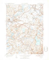
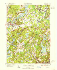
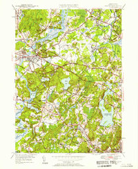
Editions of this 1950 Concord Map
4 editions found
Other maps of this area

1886 · Lawrence
USGS Topo · 1:62,500

1886 · Lowell
USGS Topo · 1:62,500

1886 · Framingham
USGS Topo · 1:62,500

1888 · Lawrence
USGS Topo · 1:62,500

1889 · Framingham
USGS Topo · 1:62,500

1893 · Lowell
USGS Topo · 1:62,500

1893 · Boston
USGS Topo · 1:62,500

1893 · Lawrence
USGS Topo · 1:62,500

1894 · Framingham
USGS Topo · 1:62,500

1903 · Boston
USGS Topo · 1:62,500